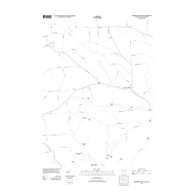
2013 Map of Harrison Valley
USGS Topo · Published 2013About this map
Harrison Valley and the neighboring settlement of Mills sit along the winding path of the Cowanesque River in this modern topographic study of northern Pennsylvania and southern New York. The landscape is defined by its dramatic relief, with high points such as White Knoll and Dennis Hill rising above deeply carved drainages like Swartz Hollow and Dodge Hollow Run. To the south, a significant portion of the terrain is protected within the Susquehannock State Forest, highlighting the region's transition from agricultural river valleys to densely timbered uplands.
Find a feature on this map
82 named features on this map. Tap any name to fly to it.
Don’t see what you’re looking for? This feature index may not catch every label — zoom into the map to look around manually.
Map Details
Editions of this 2013 Harrison Valley Map
This is the sole edition of this map. No revisions or reprints were ever made.
Other maps of this area

1899 · Gaines
USGS Topo · 1:62,500

1900 · Gaines
USGS Topo · 1:62,500

1926 · Wellsville
USGS Topo · 1:62,500

1926 · Greenwood
USGS Topo · 1:62,500

1932 · Genesee
USGS Topo · 1:62,500

1937 · Genesee
USGS Topo · 1:62,500

1950 · Elmira
USGS Topo · 1:250,000

1954 · Williamsport
USGS Topo · 1:250,000

1954 · Troupsburg
USGS Topo · 1:24,000
1957 · Potter Brook
USGS Topo · 1:24,000