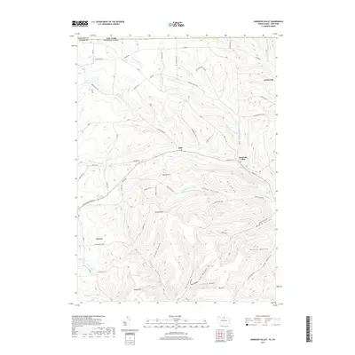
2019 Map of Harrison Valley
USGS Topo · Published 2019About this map
Harrison Valley serves as a primary local hub along the Cowanesque River, where it meets the North Branch Cowanesque River near the border between Potter County, Pennsylvania, and Steuben County, New York. The landscape is defined by a dense network of hollows and ridges, with the settlements of Mills and North Fork situated along narrow valley floors. These communities are connected by a system of rural roads like Genesee Mills Rd and Harrison Fox Hill Rd that navigate the steep elevation changes characteristic of this region.
Find a feature on this map
62 named features on this map. Tap any name to fly to it.
Don’t see what you’re looking for? This feature index may not catch every label — zoom into the map to look around manually.
Map Details
Editions of this 2019 Harrison Valley Map
This is the sole edition of this map. No revisions or reprints were ever made.
Other maps of this area

1899 · Gaines
USGS Topo · 1:62,500

1900 · Gaines
USGS Topo · 1:62,500

1926 · Wellsville
USGS Topo · 1:62,500

1926 · Greenwood
USGS Topo · 1:62,500

1932 · Genesee
USGS Topo · 1:62,500

1937 · Genesee
USGS Topo · 1:62,500

1950 · Elmira
USGS Topo · 1:250,000

1954 · Williamsport
USGS Topo · 1:250,000

1954 · Troupsburg
USGS Topo · 1:24,000
1957 · Potter Brook
USGS Topo · 1:24,000