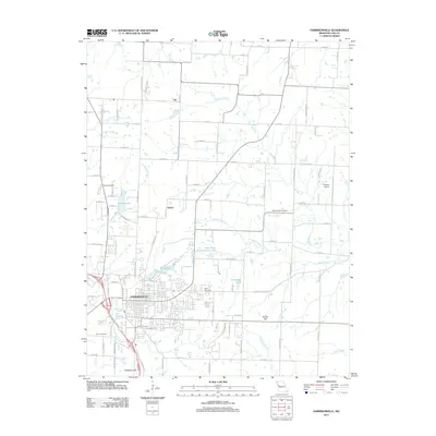
2011 Map of Harrisonville
USGS Topo · Published 2011About this map
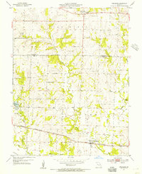
Harrisonville serves as the focal point of this Cass County landscape, where the residential and commercial grid transitions into a surrounding network of agricultural parcels and watercourses. The local terrain is defined by low elevations like Kohler Hill and Brookhart Hill, while a complex drainage system including Polecat Creek, Town Creek, and Eightmile Creek winds through the countryside. To the north of the city center, smaller named settlements such as Huber and Ore mark older rural crossroads.
Find a feature on this map
81 named features on this map. Tap any name to fly to it.
Don’t see what you’re looking for? This feature index may not catch every label — zoom into the map to look around manually.
Map Details
Editions of this 2011 Harrisonville Map
This is the sole edition of this map. No revisions or reprints were ever made.
Other maps of this area

1887 · Harrisonville
USGS Topo · 1:125,000

1892 · Harrisonville
USGS Topo · 1:125,000

1894 · Harrisonville
USGS Topo · 1:125,000

1947 · Lawrence
USGS Topo · 1:250,000

1950 · Lawrence
USGS Topo · 1:250,000
1953 · Everett
USGS Topo · 1:24,000

1954 · Harrisonville
USGS Topo · 1:24,000
1954 · East Lynne
USGS Topo · 1:24,000
1954 · Raymore
USGS Topo · 1:24,000
1954 · Strasburg
USGS Topo · 1:24,000