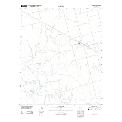
2010 Map of Harrold
USGS Topo · Published 2010About this map
The community of Harrold serves as the central hub of this north Texas landscape, positioned along a major transit corridor. The terrain is defined by a dense network of seasonal drainages, including Adams Creek, Rock Creek, and Bull Creek, which carve through the plains. To the southeast, the waters of Lake Electra mark a significant hydrological feature in this otherwise arid region.
Find a feature on this map
23 named features on this map. Tap any name to fly to it.
Don’t see what you’re looking for? This feature index may not catch every label — zoom into the map to look around manually.
Map Details
Editions of this 2010 Harrold Map
This is the sole edition of this map. No revisions or reprints were ever made.
Other maps of this area

1916 · Electra
USGS Topo · 1:24,000

1917 · Beaver Creek
USGS Topo · 1:24,000

1918 · Electra
USGS Topo · 1:31,680

1920 · Beaver Creek
USGS Topo · 1:31,680

1954 · Wichita Falls
USGS Topo · 1:250,000

1955 · Lawton
USGS Topo · 1:250,000

1958 · Wichita Falls
USGS Topo · 1:250,000

1958 · Davidson
USGS Topo · 1:62,500

1958 · Electra
USGS Topo · 1:62,500

1966 · Grayback
USGS Topo · 1:24,000