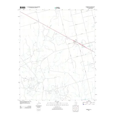
2012 Map of Harrold
USGS Topo · Published 2012About this map
Harrold serves as the primary settlement on this North Texas prairie landscape, situated along a prominent transportation corridor that bisects the region. The community layout is defined by residential streets like 3rd St, Showers St, and Stewart St, indicating a structured townsite that persists into the 21st century. The surrounding terrain is heavily influenced by a network of drainage systems, including China Cr, Adams Cr, and Rock Cr, which carve through the plains. To the south, the presence of Lake Electra and the sprawling nature of T Lease Rd suggest an area shaped by both water management and local resource access. A dense grid of county roads, such as Co Rd 134 E and Co Rd 121 N, provides a glimpse into the organized land divisions and rural connectivity essential for this agricultural and ranching district.
Find a feature on this map
26 named features on this map. Tap any name to fly to it.
Don’t see what you’re looking for? This feature index may not catch every label — zoom into the map to look around manually.
Map Details
Editions of this 2012 Harrold Map
This is the sole edition of this map. No revisions or reprints were ever made.
Other maps of this area

1916 · Electra
USGS Topo · 1:24,000

1917 · Beaver Creek
USGS Topo · 1:24,000

1918 · Electra
USGS Topo · 1:31,680

1920 · Beaver Creek
USGS Topo · 1:31,680

1954 · Wichita Falls
USGS Topo · 1:250,000

1955 · Lawton
USGS Topo · 1:250,000

1958 · Wichita Falls
USGS Topo · 1:250,000

1958 · Davidson
USGS Topo · 1:62,500

1958 · Electra
USGS Topo · 1:62,500

1966 · Grayback
USGS Topo · 1:24,000