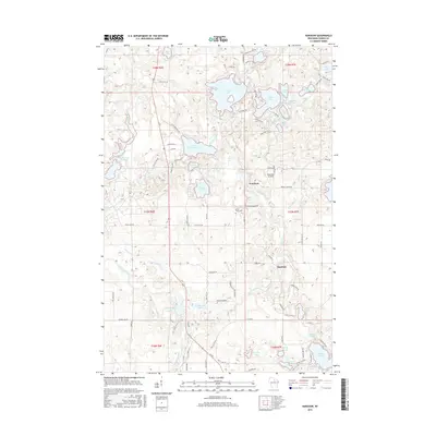
2015 Map of Harshaw
USGS Topo · Published 2015About this map
Glacial topography defines this landscape in Oneida County, where the Tomahawk River and Bearskin Creek meander through a dense network of kettle lakes and wetlands. The settlement of Harshaw serves as a local hub, situated near the headwaters of several streams and the shores of Oneida Lake. Northward, the village of Goodnow is positioned near Pinewood Air Park and the expansive Bearskin Lake.
Find a feature on this map
98 named features on this map. Tap any name to fly to it.
Don’t see what you’re looking for? This feature index may not catch every label — zoom into the map to look around manually.
Map Details
Editions of this 2015 Harshaw Map
This is the sole edition of this map. No revisions or reprints were ever made.
Other maps of this area

1938 · Minocqua
USGS Topo · 1:48,000

1938 · Lac Du Flambeau
USGS Topo · 1:48,000

1939 · Lac Du Flambeau
USGS Topo · 1:48,000

1939 · Mc Cord
USGS Topo · 1:48,000

1939 · Cassian
USGS Topo · 1:48,000

1942 · Cassian
USGS Topo · 1:48,000

1946 · Minocqua
USGS Topo · 1:48,000

1946 · Lac Du Flambeau
USGS Topo · 1:48,000

1947 · Mc Cord
USGS Topo · 1:48,000

1949 · Minocqua
USGS Topo · 1:48,000