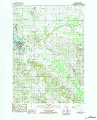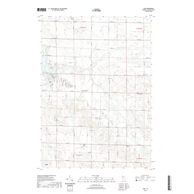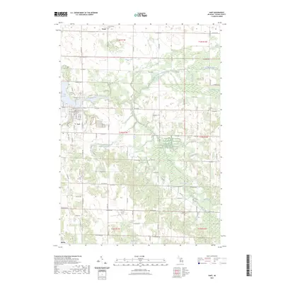
1959 Map of Hart
USGS Topo · Published 1968About this map
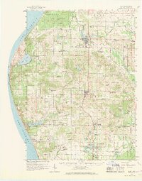
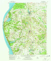
Lake Michigan dominates the western edge of this Oceana County landscape, where the dramatic shoreline at Little Point Sable and Silver Lake State Park meets a network of inland fruit-growing and agricultural communities. The central corridor is defined by the Chesapeake and Ohio railroad, which links the primary settlements of Hart, Shelby, and New Era. This mid-century survey captures the region's transition into a modern recreational and agricultural hub, evidenced by the Hart-Shelby Landing Field and the scattered oil field developments near the coast.
Find a feature on this map
135 named features on this map. Tap any name to fly to it.
Don’t see what you’re looking for? This feature index may not catch every label — zoom into the map to look around manually.
Map Details
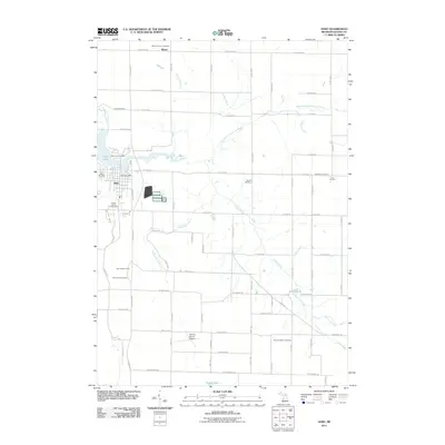
Editions of this 1959 Hart Map
3 editions found
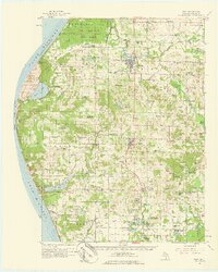
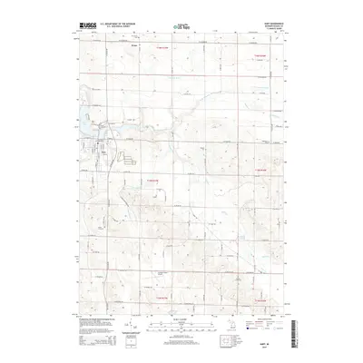
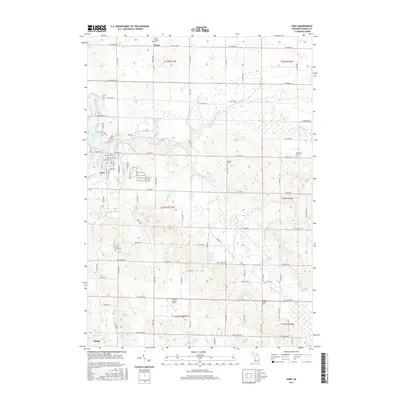
Historical Maps of Hart Through Time
7 maps found