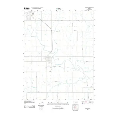
2009 Map of Hartford
USGS Topo · Published 2009About this map
The Neosho River meanders across this Lyon County landscape, defining the character of the river valley between Hartford and Neosho Rapids. The settlement pattern follows the fertile bottomlands and the path of State Hwy 130, which cuts diagonally toward the northwest. This 2009 survey captures the rural infrastructure of eastern Kansas, where several family and community burial sites are preserved, including Saint Marys Cemetery and the Hartford Cemetery south of the main town site. Tributaries such as Eagle Creek and Troublesome Creek feed into the Neosho, creating a complex network of waterways that has historically influenced agricultural boundaries and road placements like Gorman Rd and Angus Rd. At the eastern edge, Jacobs Creek flows near the Strawn Cemetery, marking the transition into neighboring drainage basins.
Find a feature on this map
53 named features on this map. Tap any name to fly to it.
Don’t see what you’re looking for? This feature index may not catch every label — zoom into the map to look around manually.
Map Details
Editions of this 2009 Hartford Map
This is the sole edition of this map. No revisions or reprints were ever made.
Other maps of this area

1885 · Burlington
USGS Topo · 1:125,000

1888 · Emporia
USGS Topo · 1:125,000

1894 · Emporia
USGS Topo · 1:125,000

1894 · Burlington
USGS Topo · 1:125,000

1947 · Lawrence
USGS Topo · 1:250,000

1950 · Lawrence
USGS Topo · 1:250,000

1955 · Hutchinson
USGS Topo · 1:250,000

1956 · Lawrence
USGS Topo · 1:250,000

1957 · Lang
USGS Topo · 1:24,000

1957 · Lebo
USGS Topo · 1:24,000