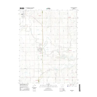
2015 Map of Hartford
USGS Topo · Published 2015About this map
The Neosho River meanders across the landscape of southeastern Lyon County, shaping the geography of both Hartford and Neosho Rapids. This region is defined by the convergence of numerous waterways, including Eagle Creek, Lebo Creek, and Troublesome Cr, all draining toward the vast John Redmond Reservoir at the eastern boundary. The grid-like layout of Hartford is prominently detailed with its central commercial district, including Commercial St and Broad St, while the outskirts are marked by local landmarks like Saint Mary's Ch.
Find a feature on this map
67 named features on this map. Tap any name to fly to it.
Don’t see what you’re looking for? This feature index may not catch every label — zoom into the map to look around manually.
Map Details
Editions of this 2015 Hartford Map
This is the sole edition of this map. No revisions or reprints were ever made.
Other maps of this area

1885 · Burlington
USGS Topo · 1:125,000

1888 · Emporia
USGS Topo · 1:125,000

1894 · Emporia
USGS Topo · 1:125,000

1894 · Burlington
USGS Topo · 1:125,000

1947 · Lawrence
USGS Topo · 1:250,000

1950 · Lawrence
USGS Topo · 1:250,000

1955 · Hutchinson
USGS Topo · 1:250,000

1956 · Lawrence
USGS Topo · 1:250,000

1957 · Lang
USGS Topo · 1:24,000

1957 · Lebo
USGS Topo · 1:24,000