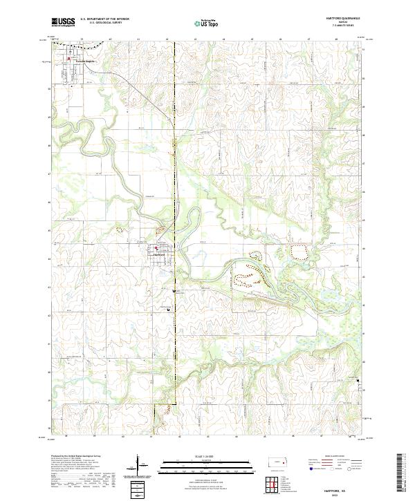
2022 Map of Hartford
USGS Topo · Published 2022About this map
The Neosho River meanders through this landscape on the border of Lyon Co and Coffey Co, defining the agricultural and settlement patterns of the region. The town of Hartford serves as a central hub, characterized by a structured grid of streets including W Maple Ave, E Exchange Ave, and Merchant St. To the northwest, the community of Neosho Rapids sits near the confluence of Plum Creek, illustrating the historical importance of water access for early Kansas townships.
Find a feature on this map
72 named features on this map. Tap any name to fly to it.
Don’t see what you’re looking for? This feature index may not catch every label — zoom into the map to look around manually.
Map Details
Editions of this 2022 Hartford Map
This is the sole edition of this map. No revisions or reprints were ever made.
Other maps of this area

1885 · Burlington
USGS Topo · 1:125,000

1888 · Emporia
USGS Topo · 1:125,000

1894 · Emporia
USGS Topo · 1:125,000

1894 · Burlington
USGS Topo · 1:125,000

1947 · Lawrence
USGS Topo · 1:250,000

1950 · Lawrence
USGS Topo · 1:250,000

1955 · Hutchinson
USGS Topo · 1:250,000

1956 · Lawrence
USGS Topo · 1:250,000

1957 · Lang
USGS Topo · 1:24,000

1957 · Lebo
USGS Topo · 1:24,000