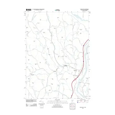
2012 Map of Hartland
USGS Topo · Published 2012About this map
Hartland and its surrounding Windsor County hills are defined by a complex network of waterways feeding the Connecticut River, including the winding Lulls Brook and Hubbard Brook. This area of Vermont, documented in the early 21st century, maintains a landscape rich with family-named topographical features and small historical settlements like Hartland Four Corners and Fieldsville. The presence of numerous burial sites, such as the Quaker Village Cem and Aldrich Cem, underscores the deep genealogical roots of the region. A notable landmark of local heritage is the Martins Mill Covered Bridge, spanning the waters near where the reservoir and river systems meet. The terrain is characterized by a high density of named elevations, from Barron Hill in the north to Holbrook Hill in the south, suggesting a long history of upland farming and decentralized rural communities tied together by narrow valley roads.
Find a feature on this map
160 named features on this map. Tap any name to fly to it.
Don’t see what you’re looking for? This feature index may not catch every label — zoom into the map to look around manually.
Map Details
Editions of this 2012 Hartland Map
This is the sole edition of this map. No revisions or reprints were ever made.
Other maps of this area

1906 · Hanover
USGS Topo · 1:62,500

1908 · Hanover
USGS Topo · 1:62,500

1911 · Woodstock
USGS Topo · 1:62,500

1913 · Woodstock
USGS Topo · 1:62,500

1926 · Claremont
USGS Topo · 1:62,500

1928 · Ludlow
USGS Topo · 1:48,000

1929 · Claremont
USGS Topo · 1:62,500

1929 · Ludlow
USGS Topo · 1:62,500

1932 · Ludlow
USGS Topo · 1:62,500

1943 · Woodstock
USGS Topo · 1:62,500