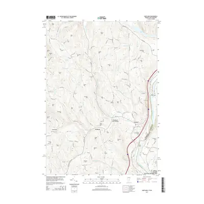
2015 Map of Hartland
USGS Topo · Published 2015About this map
The Connecticut River forms the eastern boundary of this Vermont landscape, where the town of Hartland serves as a central hub for the surrounding rural communities. Further west, the crossroads of Hartland Four Corners and the smaller hamlets of Fieldsville and Jenneville dot the interior, connected by a network of winding roads like Hartland Hill Rd and Garvin Hill Rd. The terrain is defined by a series of named peaks, including Barron Hill, Advent Hill, and Densmore Hill, which overlook various water bodies such as the N Hartland Reservoir and Crystal Pond.
Find a feature on this map
146 named features on this map. Tap any name to fly to it.
Don’t see what you’re looking for? This feature index may not catch every label — zoom into the map to look around manually.
Map Details
Editions of this 2015 Hartland Map
This is the sole edition of this map. No revisions or reprints were ever made.
Other maps of this area

1906 · Hanover
USGS Topo · 1:62,500

1908 · Hanover
USGS Topo · 1:62,500

1911 · Woodstock
USGS Topo · 1:62,500

1913 · Woodstock
USGS Topo · 1:62,500

1926 · Claremont
USGS Topo · 1:62,500

1928 · Ludlow
USGS Topo · 1:48,000

1929 · Claremont
USGS Topo · 1:62,500

1929 · Ludlow
USGS Topo · 1:62,500

1932 · Ludlow
USGS Topo · 1:62,500

1943 · Woodstock
USGS Topo · 1:62,500