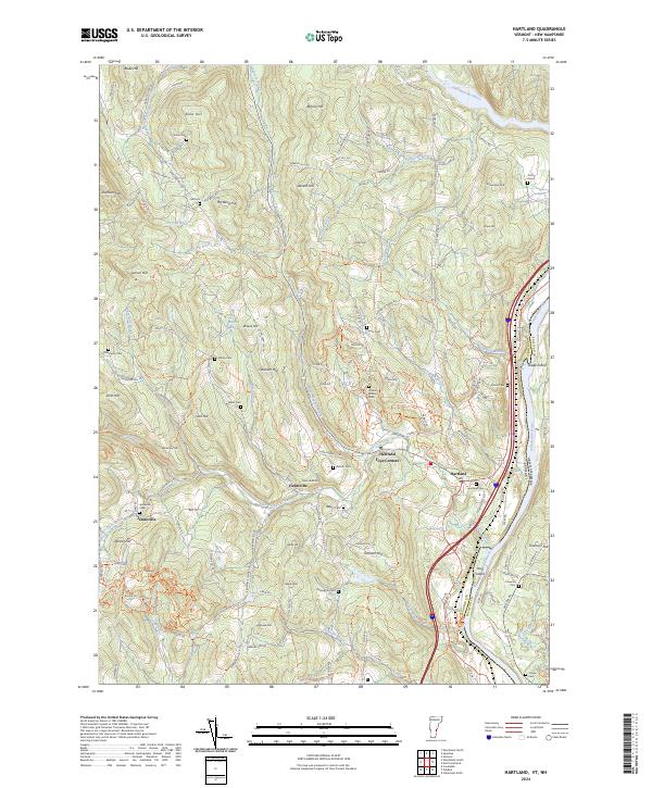
2024 Map of Hartland
USGS Topo · Published 2024About this map
Hartland and Hartland Four Corners anchor this Vermont landscape, where the Connecticut River marks the eastern boundary with New Hampshire. The terrain is defined by a dense network of hills and watercourses, including the Ottauquechee River and Lulls Brook, which historically powered the small industries of settlements like Jenneville and Fieldsville. Notable for genealogists, the map reveals numerous family-named burial grounds such as Hoisington Cem, Aldrich Cem, and Frizzel Cem scattered across the uplands.
Find a feature on this map
151 named features on this map. Tap any name to fly to it.
Don’t see what you’re looking for? This feature index may not catch every label — zoom into the map to look around manually.
Map Details
Editions of this 2024 Hartland Map
This is the sole edition of this map. No revisions or reprints were ever made.
Other maps of this area

1906 · Hanover
USGS Topo · 1:62,500

1908 · Hanover
USGS Topo · 1:62,500

1911 · Woodstock
USGS Topo · 1:62,500

1913 · Woodstock
USGS Topo · 1:62,500

1926 · Claremont
USGS Topo · 1:62,500

1928 · Ludlow
USGS Topo · 1:48,000

1929 · Claremont
USGS Topo · 1:62,500

1929 · Ludlow
USGS Topo · 1:62,500

1932 · Ludlow
USGS Topo · 1:62,500

1943 · Woodstock
USGS Topo · 1:62,500