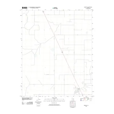
2010 Map of Hartley
USGS Topo · Published 2010About this map
Hartley anchors this 2010 survey of the Texas Panhandle, positioned along a prominent rail and highway junction in the southeast. The settlement's street grid, featuring names like Cameron and Elm St, contrasts with the surrounding agricultural expanse. To the northwest, the seasonal drainage of Rita Blanca Creek cuts through the plains, representing the primary natural break in a landscape otherwise defined by a geometric network of county roads. These thoroughfares, including Tower Rd, Thompson Rd, and Park Rd, delineate large tracts of land typical of modern High Plains ranching and farming operations. The map reflects a contemporary era of rural organization, where long-established watercourses and twentieth-century infrastructure like the diagonal highway corridor dictate the flow of movement across the county.
Find a feature on this map
17 named features on this map. Tap any name to fly to it.
Don’t see what you’re looking for? This feature index may not catch every label — zoom into the map to look around manually.
Map Details
Editions of this 2010 Hartley Map
This is the sole edition of this map. No revisions or reprints were ever made.
Other maps of this area

1954 · Tucumcari
USGS Topo · 1:250,000

1954 · Dalhart
USGS Topo · 1:250,000

1958 · Tucumcari
USGS Topo · 1:250,000

1958 · Dalhart
USGS Topo · 1:250,000

1962 · Dalhart
USGS Topo · 1:250,000

1963 · Hartley SE
USGS Topo · 1:24,000

1963 · Hartley NE
USGS Topo · 1:24,000

1965 · Wilco
USGS Topo · 1:24,000

1972 · Hartley SW
USGS Topo · 1:24,000

1973 · Pardue Camp
USGS Topo · 1:24,000