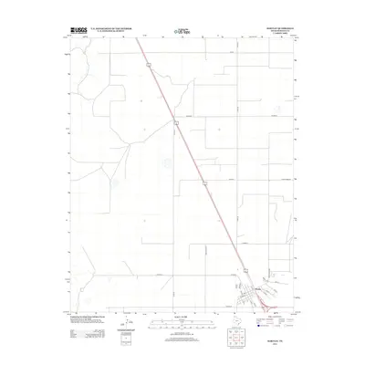
2012 Map of Hartley
USGS Topo · Published 2012About this map
The town of Hartley serves as the focal point of this High Plains landscape, situated at the junction of several critical regional transport routes including Ranch Road 807. The community is mapped in detail, showing a grid of local streets such as Dodge St, Cameron, and Frost, which reveal the town's organized layout. Outside the settlement, the terrain is defined by a rigorous network of section roads like Co Rd 38 and Co Road G, reflecting the vast agricultural partitions of the Texas Panhandle. To the west, the winding path of Rita Blanca Cr provides a natural break in the otherwise geometric landscape. This survey documents the intersection of modern ranching infrastructure and local residential life in Hartley County during the early 21st century.
Find a feature on this map
26 named features on this map. Tap any name to fly to it.
Don’t see what you’re looking for? This feature index may not catch every label — zoom into the map to look around manually.
Map Details
Editions of this 2012 Hartley Map
This is the sole edition of this map. No revisions or reprints were ever made.
Other maps of this area

1954 · Tucumcari
USGS Topo · 1:250,000

1954 · Dalhart
USGS Topo · 1:250,000

1958 · Tucumcari
USGS Topo · 1:250,000

1958 · Dalhart
USGS Topo · 1:250,000

1962 · Dalhart
USGS Topo · 1:250,000

1963 · Hartley SE
USGS Topo · 1:24,000

1963 · Hartley NE
USGS Topo · 1:24,000

1965 · Wilco
USGS Topo · 1:24,000

1972 · Hartley SW
USGS Topo · 1:24,000

1973 · Pardue Camp
USGS Topo · 1:24,000