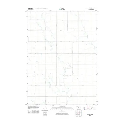
2010 Map of Hartley SW
USGS Topo · Published 2010About this map
Waterman Creek and its many tributaries, including Little Waterman Creek and McCreath Creek, carve a intricate drainage pattern through this section of Clay County. The landscape is defined by a rigorous grid of section-line roads, such as Vine Ave and 370th St, which facilitate a sprawling agricultural economy. This 2010 survey reflects the enduring rural character of the region, where the only non-residential landmark of note is the Grant Cemetery located along 400th St. The intersection of these drainage ways with the rectilinear road system illustrates the late-20th-century approach to land management in the Iowa plains, preserving small family burial grounds amidst the vast acreage of industrial-scale farming.
Find a feature on this map
22 named features on this map. Tap any name to fly to it.
Don’t see what you’re looking for? This feature index may not catch every label — zoom into the map to look around manually.
Map Details
Editions of this 2010 Hartley SW Map
This is the sole edition of this map. No revisions or reprints were ever made.
Other maps of this area

1954 · Fairmont
USGS Topo · 1:250,000

1954 · Fort Dodge
USGS Topo · 1:250,000

1957 · Fort Dodge
USGS Topo · 1:250,000

1958 · Fort Dodge
USGS Topo · 1:250,000

1958 · Fairmont
USGS Topo · 1:250,000

1964 · Plessis
USGS Topo · 1:24,000

1964 · Gaza
USGS Topo · 1:24,000

1970 · Hartley SW
USGS Topo · 1:24,000

1970 · Everly
USGS Topo · 1:24,000

1970 · Hartley
USGS Topo · 1:24,000