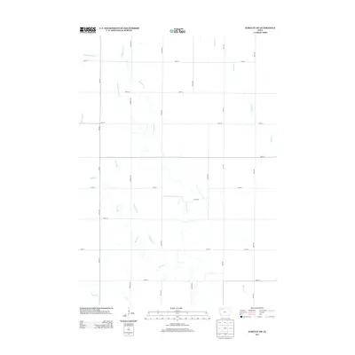
2013 Map of Hartley SW
USGS Topo · Published 2013About this map
Waterman Creek and its numerous tributaries dominate this rural landscape in Clay County, tracing a complex drainage pattern through an established agricultural grid. The map depicts the headwaters and meandering paths of several named streams, including Little Waterman Cr, McCreath Cr, and Barry Cr. This 2013 survey illustrates the highly structured section-line road system that organizes the territory, with corridors like Vine Ave, Warbler Ave, and White Ave running north-south, intersected by east-west routes such as 370th St and 440th St. The absence of dense town sites highlights the area's specialized land use, where the only deviations from the rectilinear grid are the winding valleys of Jordan Cr and Henry Cr.
Find a feature on this map
22 named features on this map. Tap any name to fly to it.
Don’t see what you’re looking for? This feature index may not catch every label — zoom into the map to look around manually.
Map Details
Editions of this 2013 Hartley SW Map
This is the sole edition of this map. No revisions or reprints were ever made.
Other maps of this area

1954 · Fairmont
USGS Topo · 1:250,000

1954 · Fort Dodge
USGS Topo · 1:250,000

1957 · Fort Dodge
USGS Topo · 1:250,000

1958 · Fort Dodge
USGS Topo · 1:250,000

1958 · Fairmont
USGS Topo · 1:250,000

1964 · Plessis
USGS Topo · 1:24,000

1964 · Gaza
USGS Topo · 1:24,000

1970 · Hartley SW
USGS Topo · 1:24,000

1970 · Everly
USGS Topo · 1:24,000

1970 · Hartley
USGS Topo · 1:24,000