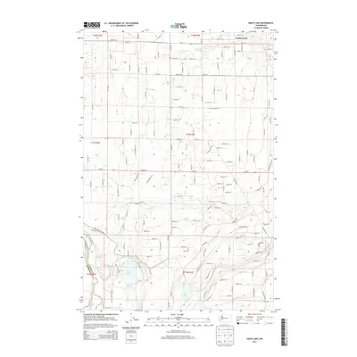
2013 Map of Harts Lake
USGS Topo · Published 2013About this map
The Nisqually River defines the southwestern corner of this Pierce County landscape, marking the boundary with Thurston Co. The area is characterized by a complex network of seasonal and perennial watercourses, including Horn Cr and Lacamas Cr, which weave between a series of glacial lakes. Notable among these are Harts Lake, Little Lake, and Tule Lake, which anchor the lowland basins. Residential and agricultural development follows a strict section-line grid, intersected by Wa-702 and the winding Harts Lake Loop Rd S. Near the northern margin, the settlement of South Creek sits at a junction of rural routes. The map illustrates a contemporary pattern of land use where established homesteads and modern subdivisions exist alongside natural features like Rocky Slough and Murray Cr.
Find a feature on this map
15 named features on this map. Tap any name to fly to it.
Don’t see what you’re looking for? This feature index may not catch every label — zoom into the map to look around manually.
Map Details
Editions of this 2013 Harts Lake Map
This is the sole edition of this map. No revisions or reprints were ever made.
Other maps of this area

1897 · Tacoma
USGS Topo · 1:125,000

1900 · Tacoma
USGS Topo · 1:125,000

1916 · Chehalis
USGS Topo · 1:125,000

1937 · Eatonville
USGS Topo · 1:125,000

1940 · Anderson Island
USGS Topo · 1:62,500

1941 · Tanwax Lake
USGS Topo · 1:62,500

1941 · Tacoma South
USGS Topo · 1:62,500

1944 · Tacoma South
USGS Topo · 1:62,500

1944 · Yelm
USGS Topo · 1:62,500

1944 · Ohop Valley
USGS Topo · 1:62,500