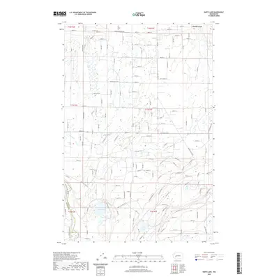
2020 Map of Harts Lake
USGS Topo · Published 2020About this map
The Nisqually River marks the southwestern boundary of this landscape, where the border between Pierce Co and Thurston County follows the winding waterway. This 2020 survey reveals a complex network of glacial lakes and wetlands, most notably Harts Lake and its smaller neighbor, Little Lake. The area is characterized by a low-lying, water-rich environment where Rocky Slough and Tanwax Cr navigate through the terrain. Evidence of rural development is visible in the grid of established roads like McKenna Tanwax and Anderson Brandt Rd S, alongside newer residential courts and lanes. To the east, Tule Lake and various smaller creek systems including Horn Cr and South Creek define the drainage patterns of this transitional woodland and agricultural zone.
Find a feature on this map
89 named features on this map. Tap any name to fly to it.
Don’t see what you’re looking for? This feature index may not catch every label — zoom into the map to look around manually.
Map Details
Editions of this 2020 Harts Lake Map
This is the sole edition of this map. No revisions or reprints were ever made.
Other maps of this area

1897 · Tacoma
USGS Topo · 1:125,000

1900 · Tacoma
USGS Topo · 1:125,000

1916 · Chehalis
USGS Topo · 1:125,000

1937 · Eatonville
USGS Topo · 1:125,000

1940 · Anderson Island
USGS Topo · 1:62,500

1941 · Tanwax Lake
USGS Topo · 1:62,500

1941 · Tacoma South
USGS Topo · 1:62,500

1944 · Tacoma South
USGS Topo · 1:62,500

1944 · Yelm
USGS Topo · 1:62,500

1944 · Ohop Valley
USGS Topo · 1:62,500