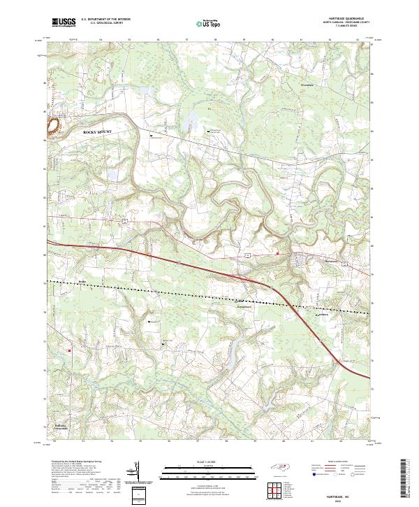
2022 Map of Hartsease
USGS Topo · Published 2022About this map
The Tar River and its meandering tributaries dominate the landscape of Edgecombe County in this recent survey. Settlements like Rocky Mount and Hartsease are connected by a network of rural routes such as Walnut Creek Ln and Chrystal Way. The map provides a detailed view of several small communities including Wrendale, Brake, and Bullucks Crossroads, where the geography is defined by a dense system of wetlands and streams like Cokey Swamp and Walnut Cr.
Find a feature on this map
93 named features on this map. Tap any name to fly to it.
Don’t see what you’re looking for? This feature index may not catch every label — zoom into the map to look around manually.
Map Details
Editions of this 2022 Hartsease Map
This is the sole edition of this map. No revisions or reprints were ever made.
Other maps of this area

1902 · Rocky Mount
USGS Topo · 1:62,500

1902 · Tarboro
USGS Topo · 1:62,500

1903 · Tarboro
USGS Topo · 1:62,500

1904 · Rocky Mount
USGS Topo · 1:62,500

1953 · Norfolk
USGS Topo · 1:250,000

1953 · Rocky Mount
USGS Topo · 1:250,000

1954 · Rocky Mount
USGS Topo · 1:250,000

1960 · Draughn
USGS Topo · 1:24,000

1961 · Whitakers
USGS Topo · 1:24,000

1963 · Drake
USGS Topo · 1:24,000