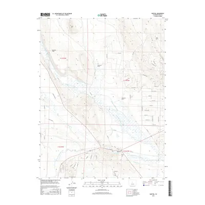
2016 Map of Hartsel
USGS Topo · Published 2016About this map
Hartsel serves as the central hub of this high-altitude cattle and ranching region where the forks of the South Platte converge. The landscape is defined by an extensive system of water management, with numerous named irrigation channels like the Fehringer Number 1 Ditch, Fehringer Number 2 Ditch, and the Big Thompson Ditch crisscrossing the broad valley floor of Badger Basin. These waterworks reflect the area's agricultural foundations, diverting flow from the Middle Fork South Platte River and the South Fork South Platte River to sustain the local meadows.
Find a feature on this map
63 named features on this map. Tap any name to fly to it.
Don’t see what you’re looking for? This feature index may not catch every label — zoom into the map to look around manually.
Map Details
Editions of this 2016 Hartsel Map
This is the sole edition of this map. No revisions or reprints were ever made.
Other maps of this area

1953 · Denver
USGS Topo · 1:250,000

1954 · Pueblo
USGS Topo · 1:250,000

1956 · Eagle Rock
USGS Topo · 1:24,000

1956 · Elkhorn
USGS Topo · 1:24,000

1956 · Sulphur Mountain
USGS Topo · 1:24,000

1956 · Garo
USGS Topo · 1:24,000

1956 · Antero Reservoir
USGS Topo · 1:24,000

1956 · Antero Reservoir NE
USGS Topo · 1:24,000

1956 · Fairplay East
USGS Topo · 1:24,000

1956 · Hartsel
USGS Topo · 1:24,000