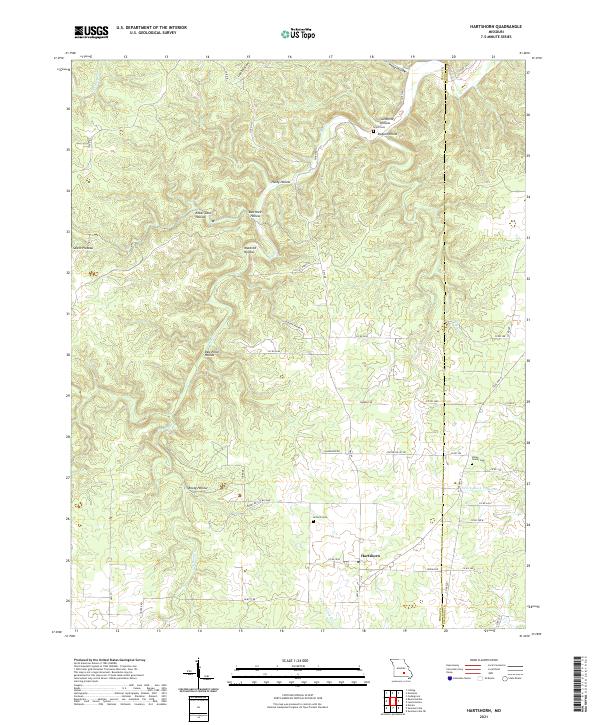
2021 Map of Hartshorn
USGS Topo · Published 2021About this map
Hartshorn serves as the primary settlement on this portion of the Salem Plateau, where the landscape is defined by an intricate network of narrow valleys locally known as hollows. The drainage patterns of the Ozarks are clearly visible here, with Dry Bone Cr and Big Cr cutting through the terrain. The map reveals a rural character shaped by generational land use, evidenced by family-named landmarks like Huldy Hollow, Dugan Hollow, and the intriguing Rebel Cave Hollow.
Find a feature on this map
55 named features on this map. Tap any name to fly to it.
Don’t see what you’re looking for? This feature index may not catch every label — zoom into the map to look around manually.
Map Details
Editions of this 2021 Hartshorn Map
This is the sole edition of this map. No revisions or reprints were ever made.
Other maps of this area

1932 · Cedar Grove
USGS Topo · 1:48,000

1945 · Clear Springs
USGS Topo · 1:62,500

1946 · Summersville
USGS Topo · 1:62,500

1948 · Clear Springs
USGS Topo · 1:62,500

1948 · Summersville
USGS Topo · 1:62,500

1949 · Rolla
USGS Topo · 1:250,000

1951 · Montauk
USGS Topo · 1:24,000

1951 · Licking
USGS Topo · 1:24,000

1951 · Cedargrove
USGS Topo · 1:24,000

1951 · Raymondville
USGS Topo · 1:24,000