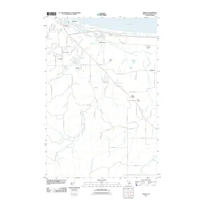
2011 Map of Harvey
USGS Topo · Published 2011About this map
Lake Superior shorelines define the northern edge of this 2011 survey, where the Chocolay River winds through a landscape of coastal settlements and agricultural holdings. The map documents the residential growth of Harvey and Lakewood alongside specialized facilities like the Marquette Fish Hatchery and the Southfork Airport. Further inland, the terrain transitions into the smaller rural hamlets of Beaver Grove and Green Garden.
Find a feature on this map
94 named features on this map. Tap any name to fly to it.
Don’t see what you’re looking for? This feature index may not catch every label — zoom into the map to look around manually.
Map Details
Editions of this 2011 Harvey Map
This is the sole edition of this map. No revisions or reprints were ever made.
Other maps of this area

1907 · Marquette
USGS Topo · 1:62,500

1932 · Skandia SW
USGS Topo · 1:31,680

1932 · Harvey NW
USGS Topo · 1:31,680

1932 · Harvey SE
USGS Topo · 1:31,680

1932 · Harvey SW
USGS Topo · 1:31,680

1932 · Harvey NE
USGS Topo · 1:31,680

1950 · Skandia NW
USGS Topo · 1:31,680

1952 · Sands
USGS Topo · 1:24,000

1952 · Gwinn
USGS Topo · 1:62,500

1952 · Gwinn
USGS Topo · 1:24,000