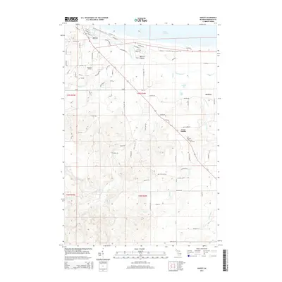
2014 Map of Harvey
USGS Topo · Published 2014About this map
The Chocolay River snakes through the center of this landscape, creating a prominent drainage basin that defines the local geography south of its outlet at Lake Superior. Near the shoreline, the community of Harvey serves as a residential hub, while the interior is dotted with smaller settlements like Beaver Grove and Mangum. The road network is anchored by the junction of Us-41 and M-28, which facilitates travel across the Upper Peninsula. Along the southern corridor of US-41, Green Garden appears as a quiet pocket of development, home to the Green Garden Cem and Saint Pauls Cem. The map illustrates a diverse mix of land uses, from the aviation facilities at Southfork Airport to the recreational corridors of the N Country National Scenic Trail, which parallels the coast through the northern sections of the quadrangle.
Find a feature on this map
91 named features on this map. Tap any name to fly to it.
Don’t see what you’re looking for? This feature index may not catch every label — zoom into the map to look around manually.
Map Details
Editions of this 2014 Harvey Map
This is the sole edition of this map. No revisions or reprints were ever made.
Other maps of this area

1907 · Marquette
USGS Topo · 1:62,500

1932 · Skandia SW
USGS Topo · 1:31,680

1932 · Harvey NW
USGS Topo · 1:31,680

1932 · Harvey SE
USGS Topo · 1:31,680

1932 · Harvey SW
USGS Topo · 1:31,680

1932 · Harvey NE
USGS Topo · 1:31,680

1950 · Skandia NW
USGS Topo · 1:31,680

1952 · Sands
USGS Topo · 1:24,000

1952 · Gwinn
USGS Topo · 1:62,500

1952 · Gwinn
USGS Topo · 1:24,000