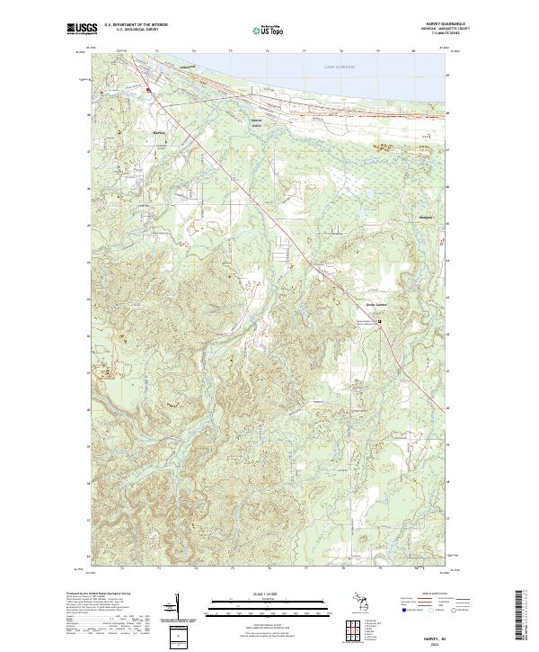
2023 Map of Harvey
USGS Topo · Published 2023About this map
Lake Superior defines the northern coastline of this Marquette County landscape, where the Chocolay River winds through marshlands and forests toward the bay. The map illustrates a complex network of waterways, including LeVasseur Creek, Foster Creek, and the connected First Lake and Second Lake, which dominate the eastern interior. Human activity is clustered in settlements such as Harvey, Beaver Grove, and Lakewood, with the specialized Southfork Airport providing a distinct aviation landmark.
Find a feature on this map
85 named features on this map. Tap any name to fly to it.
Don’t see what you’re looking for? This feature index may not catch every label — zoom into the map to look around manually.
Map Details
Editions of this 2023 Harvey Map
This is the sole edition of this map. No revisions or reprints were ever made.
Other maps of this area
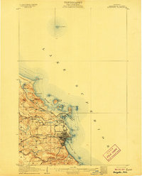
1907 · Marquette
USGS Topo · 1:62,500
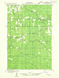
1932 · Skandia SW
USGS Topo · 1:31,680
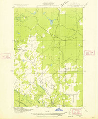
1932 · Harvey NW
USGS Topo · 1:31,680
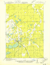
1932 · Harvey SE
USGS Topo · 1:31,680
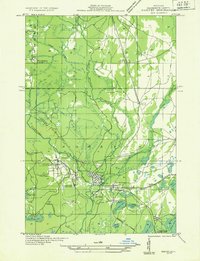
1932 · Harvey SW
USGS Topo · 1:31,680
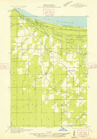
1932 · Harvey NE
USGS Topo · 1:31,680
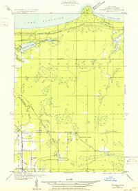
1950 · Skandia NW
USGS Topo · 1:31,680
1952 · Sands
USGS Topo · 1:24,000
1952 · Gwinn
USGS Topo · 1:62,500
1952 · Gwinn
USGS Topo · 1:24,000