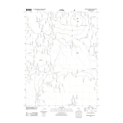
2012 Map of Harvey Mountain
USGS Topo · Published 2012About this map
Harvey Mountain dominates this Lassen County landscape, capped by the Harvey Mountain Lookout overlooking a complex network of forest routes and historical trails. The terrain reveals a narrative of fire and recovery, specifically noting the Harvey Mountain Burn and Cone Mountain Burn. Below the peaks, water sources like Burgess Springs, Cone Spring, and Lyons Spring have historically supported life in this high-elevation environment.
Find a feature on this map
30 named features on this map. Tap any name to fly to it.
Don’t see what you’re looking for? This feature index may not catch every label — zoom into the map to look around manually.
Map Details
Editions of this 2012 Harvey Mountain Map
This is the sole edition of this map. No revisions or reprints were ever made.
Other maps of this area

1886 · Honey Lake
USGS Topo · 1:250,000

1886 · Lassen Peak
USGS Topo · 1:250,000

1891 · Honey Lake
USGS Topo · 1:250,000

1892 · Lassen Peak
USGS Topo · 1:250,000

1893 · Honey Lake
USGS Topo · 1:250,000

1894 · Lassen Peak
USGS Topo · 1:250,000

1939 · Halls Flat
USGS Topo · 1:125,000

1955 · Westwood
USGS Topo · 1:250,000

1956 · Hayden Hill
USGS Topo · 1:62,500

1956 · Harvey Mtn
USGS Topo · 1:62,500