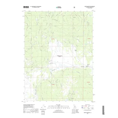
2018 Map of Harvey Mountain
USGS Topo · Published 2018About this map
Lassen National Forest terrain dominates this survey of Lassen County, where timber management and water conservation efforts shape the landscape. High-altitude meadows such as Burgess Meadow and valleys like Harvey Valley and Little Harvey Valley sit nestled between volcanic peaks, including the prominent Harvey Mtn and Patterson Mtn. The 2018 mapping shows a network of Forest Service roads, including the Shoestring Harvey and North Lodgepole routes, which provide access to crucial water resources like the White Horse Reservoir and Shoestring Reservoir. A notable landmark for historical research is the Cones Hdq Site, situated near Cone Spring, which hints at the area's mid-century cattle ranching or forestry operations. The southern portion of the sheet is defined by the unique topography of Crater Mtn and Crater Lake North, illustrating the complex geological features of this volcanic region.
Find a feature on this map
81 named features on this map. Tap any name to fly to it.
Don’t see what you’re looking for? This feature index may not catch every label — zoom into the map to look around manually.
Map Details
Editions of this 2018 Harvey Mountain Map
This is the sole edition of this map. No revisions or reprints were ever made.
Other maps of this area

1886 · Honey Lake
USGS Topo · 1:250,000

1886 · Lassen Peak
USGS Topo · 1:250,000

1891 · Honey Lake
USGS Topo · 1:250,000

1892 · Lassen Peak
USGS Topo · 1:250,000

1893 · Honey Lake
USGS Topo · 1:250,000

1894 · Lassen Peak
USGS Topo · 1:250,000

1939 · Halls Flat
USGS Topo · 1:125,000

1955 · Westwood
USGS Topo · 1:250,000

1956 · Hayden Hill
USGS Topo · 1:62,500

1956 · Harvey Mtn
USGS Topo · 1:62,500