
1932 Map of Harvey NE
USGS Topo · Published 1932About this map
The Lake Superior shoreline in Marquette County serves as the backdrop for this 1932 field examination, revealing a landscape defined by its rural school districts and early aviation infrastructure. The Duluth South Shore and Atlantic railroad corridors parallel the coast, while U S Highway No 41 cuts through the townships of Chocolay and West Branch.
Find a feature on this map
19 named features on this map. Tap any name to fly to it.
Don’t see what you’re looking for? This feature index may not catch every label — zoom into the map to look around manually.
Map Details
Editions of this 1932 Harvey NE Map
This is the sole edition of this map. No revisions or reprints were ever made.
Other maps of this area

1907 · Marquette
USGS Topo · 1:62,500

1932 · Skandia SW
USGS Topo · 1:31,680

1932 · Harvey NW
USGS Topo · 1:31,680

1932 · Harvey SE
USGS Topo · 1:31,680

1932 · Harvey SW
USGS Topo · 1:31,680

1950 · Skandia NW
USGS Topo · 1:31,680

1952 · Sands
USGS Topo · 1:24,000

1952 · Gwinn
USGS Topo · 1:62,500

1952 · Gwinn
USGS Topo · 1:24,000
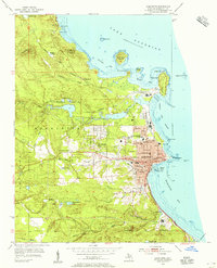
1954 · Marquette
USGS Topo · 1:24,000