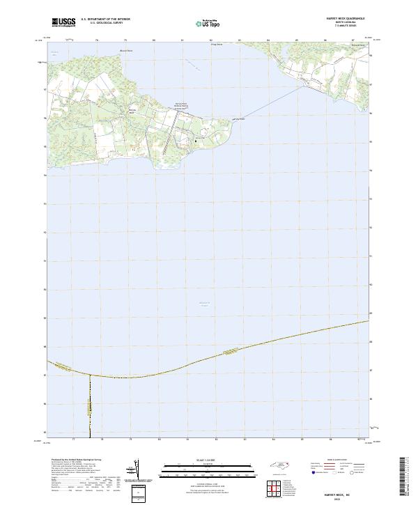
2022 Map of Harvey Neck
USGS Topo · Published 2022About this map
Harvey Neck extends into the meeting waters of the Perquimans River and Albemarle Sound, forming a distinct peninsula defined by its maritime geography and military history. The most prominent installation is the Harvey Point Defense Testing Activity Airport, which occupies the eastern tip of the neck. This facility, accessed via Harvey Point Rd, represents a significant federal presence in this corner of Perquimans County.
Find a feature on this map
20 named features on this map. Tap any name to fly to it.
Don’t see what you’re looking for? This feature index may not catch every label — zoom into the map to look around manually.
Map Details
Editions of this 2022 Harvey Neck Map
This is the sole edition of this map. No revisions or reprints were ever made.
Other maps of this area

1906 · Hertford
USGS Topo · 1:62,500

1940 · Hertford
USGS Topo · 1:62,500

1940 · Wade Point
USGS Topo · 1:62,500

1943 · Wade Point
USGS Topo · 1:62,500

1943 · Columbia
USGS Topo · 1:125,000

1948 · Wade Point
USGS Topo · 1:62,500

1953 · Norfolk
USGS Topo · 1:250,000

1953 · Columbia East
USGS Topo · 1:24,000

1953 · Columbia West
USGS Topo · 1:24,000

1953 · Rocky Mount
USGS Topo · 1:250,000