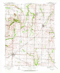
1939 Map of Harwood
USGS Topo · Published 1972About this map
The Missouri Kansas Texas railroad serves as the primary corridor for commerce and travel across this Vernon County landscape, connecting the established town of Walker with the smaller settlement of Harwood. Surveyed in the late 1930s, the map reveals a rural economy organized around localized school districts and country churches, such as Mt Vernon Ch in the southeast. A high density of rural schools, including Coal Creek Sch, Robinson Sch, and Lowe Sch, suggests a distributed population of family farms typical of the era. The terrain is defined by low ridges and drainages like Ladies Branch and Clear Creek, with prominent local landmarks such as Blue Mound and Pepper Hill rising above the surrounding agricultural fields. For genealogists, the map is a critical resource for locating smaller family burial grounds, specifically Harwood Cem and Bethany Cem.
Find a feature on this map
30 named features on this map. Tap any name to fly to it.
Don’t see what you’re looking for? This feature index may not catch every label — zoom into the map to look around manually.
Map Details
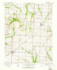
Editions of this 1939 Harwood Map
2 editions found
Other maps of this area

1886 · Nevada
USGS Topo · 1:125,000

1887 · Butler
USGS Topo · 1:125,000

1894 · Butler
USGS Topo · 1:125,000

1894 · Nevada
USGS Topo · 1:125,000

1933 · Camp Clark
USGS Topo · 1:24,000

1934 · Papinsville
USGS Topo · 1:24,000

1934 · Rockville
USGS Topo · 1:24,000

1936 · Rich Hill
USGS Topo · 1:24,000

1938 · Horton
USGS Topo · 1:24,000

1939 · Horton
USGS Topo · 1:24,000