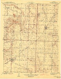
1941 Map of Harwood
USGS Topo · Published 1941About this map
The Missouri Kansas Texas railroad serves as the primary industrial artery for this Vernon County landscape, connecting the village of Walker to Harwood. This early 1940s survey reveals a high density of rural institutions, particularly one-room schoolhouses like Howard Sch, Moss Sch, and Robinson Sch that once anchored these farming townships. To the north, the terrain rises toward the prominent Blue Mound and Pepper Hill, while smaller settlements like Fair Haven and Handley dot the intersecting roads.
Find a feature on this map
31 named features on this map. Tap any name to fly to it.
Don’t see what you’re looking for? This feature index may not catch every label — zoom into the map to look around manually.
Map Details
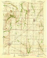
Editions of this 1941 Harwood Map
2 editions found
Other maps of this area

1886 · Nevada
USGS Topo · 1:125,000

1887 · Butler
USGS Topo · 1:125,000

1894 · Butler
USGS Topo · 1:125,000

1894 · Nevada
USGS Topo · 1:125,000

1933 · Camp Clark
USGS Topo · 1:24,000

1934 · Papinsville
USGS Topo · 1:24,000

1934 · Rockville
USGS Topo · 1:24,000

1936 · Rich Hill
USGS Topo · 1:24,000

1938 · Horton
USGS Topo · 1:24,000

1939 · Horton
USGS Topo · 1:24,000