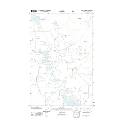
2011 Map of Hash Mountain
USGS Topo · Published 2011About this map
Lake Blaine sits at the foot of the western slopes of the Swan Range, serving as a prominent landmark in this part of Flathead County. The hydrology of the area is further defined by the South Fork Hemler Creek, which flows through the northern reaches of the quadrangle. A notable point of historical interest is the Jessup Mill Pond, reflecting the localized industrial or agricultural water management common to the region's development. This 2011 survey captures the area's mix of natural water bodies and managed water resources, documenting the landscape before further modern shifts in rural land use took place.
Find a feature on this map
3 named features on this map. Tap any name to fly to it.
Don’t see what you’re looking for? This feature index may not catch every label — zoom into the map to look around manually.
Map Details
Editions of this 2011 Hash Mountain Map
This is the sole edition of this map. No revisions or reprints were ever made.
Other maps of this area

1914 · Nyack
USGS Topo · 1:125,000

1943 · Kalispell
USGS Topo · 1:125,000

1957 · Kalispell
USGS Topo · 1:250,000

1960 · Kalispell
USGS Topo · 1:250,000

1960 · Cut Bank
USGS Topo · 1:250,000

1961 · Kalispell
USGS Topo · 1:250,000

1962 · Columbia Falls South
USGS Topo · 1:24,000

1962 · Doris Mountain
USGS Topo · 1:24,000

1962 · Somers
USGS Topo · 1:24,000

1962 · Creston
USGS Topo · 1:24,000