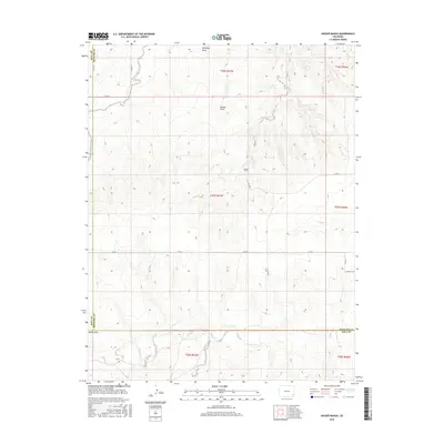
2016 Map of Hasser Ranch
USGS Topo · Published 2016About this map
Hasser Ranch sits at the heart of this landscape where the high plains of southeastern Colorado meet the drainage systems of the Arkansas River basin. The geography is defined by a complex network of intermittent watercourses, including James Draw and Antelope Draw, which channel seasonal runoff toward larger tributaries. A significant hydrological divide is visible as West Clay Creek and East Clay Creek converge and flow northward through the survey area, crossing the boundary between Baca County and Prowers County.
Find a feature on this map
26 named features on this map. Tap any name to fly to it.
Don’t see what you’re looking for? This feature index may not catch every label — zoom into the map to look around manually.
Map Details
Editions of this 2016 Hasser Ranch Map
This is the sole edition of this map. No revisions or reprints were ever made.
Other maps of this area

1892 · Two Butte
USGS Topo · 1:125,000

1893 · Two Butte
USGS Topo · 1:125,000

1955 · La Junta
USGS Topo · 1:250,000

1958 · La Junta
USGS Topo · 1:250,000

1968 · La Junta
USGS Topo · 1:250,000
1968 · Dripping Spring
USGS Topo · 1:24,000
1968 · Cat Creek
USGS Topo · 1:24,000
1968 · Gobblers Knob
USGS Topo · 1:24,000
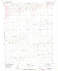
1971 · Big Rock Grange
USGS Topo · 1:24,000
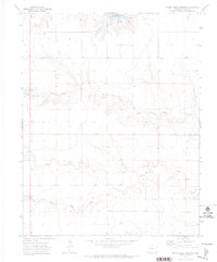
1971 · Horse Creek Springs
USGS Topo · 1:24,000