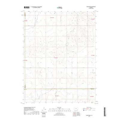
2019 Map of Hasser Ranch
USGS Topo · Published 2019About this map
Hasser Ranch sits at the heart of this high plains landscape, situated near the intersection of several county lines in Southeast Colorado. The terrain is defined by a dendritic network of seasonal drainages, including the prominent Two Butte Cr and N Butte Cr which carve through the shortgrass prairie. This rural expanse, captured just before the turn of the decade, demonstrates the persistent ranching economy of the region where namesake landmarks like James Draw and Antelope Draw serve as essential topographic markers in an otherwise open horizon. The map details the strict grid of the Public Land Survey System, showing how East Clay Creek and W Clay Cr intersect with the township and range boundaries that have organized this territory since the early days of settlement.
Find a feature on this map
28 named features on this map. Tap any name to fly to it.
Don’t see what you’re looking for? This feature index may not catch every label — zoom into the map to look around manually.
Map Details
Editions of this 2019 Hasser Ranch Map
This is the sole edition of this map. No revisions or reprints were ever made.
Other maps of this area

1892 · Two Butte
USGS Topo · 1:125,000

1893 · Two Butte
USGS Topo · 1:125,000

1955 · La Junta
USGS Topo · 1:250,000

1958 · La Junta
USGS Topo · 1:250,000

1968 · La Junta
USGS Topo · 1:250,000
1968 · Dripping Spring
USGS Topo · 1:24,000
1968 · Cat Creek
USGS Topo · 1:24,000
1968 · Gobblers Knob
USGS Topo · 1:24,000
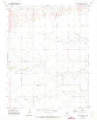
1971 · Big Rock Grange
USGS Topo · 1:24,000
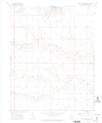
1971 · Horse Creek Springs
USGS Topo · 1:24,000