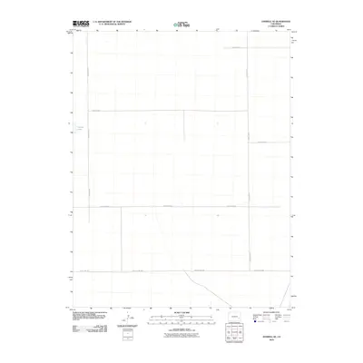
2010 Map of Haswell SE
USGS Topo · Published 2010About this map
Potters Lake sits at the western edge of this Kiowa County landscape, a rare water feature in an otherwise high-plains environment defined by its strictly organized section lines. The rural infrastructure of the early twenty-first century is represented by a rigid grid of thoroughfares, most notably County Hwy WW crossing the southern portion and County Rd-27 marking the eastern boundary. This area of Colorado is characterized by its wide-open agricultural layout, where the primary human mark is the deliberate geometry of the road network. Tracing the path of County Rd-22 or County Road F, researchers can see how access was maintained across these expansive parcels of land, providing a clear picture of modern land division and rural connectivity in the region.
Find a feature on this map
8 named features on this map. Tap any name to fly to it.
Don’t see what you’re looking for? This feature index may not catch every label — zoom into the map to look around manually.
Map Details
Editions of this 2010 Haswell SE Map
This is the sole edition of this map. No revisions or reprints were ever made.
Other maps of this area

1891 · Las Animas
USGS Topo · 1:125,000

1892 · Lamar
USGS Topo · 1:125,000

1893 · Las Animas
USGS Topo · 1:125,000

1954 · Lamar
USGS Topo · 1:250,000

1955 · Tree Top Ranch
USGS Topo · 1:24,000

1955 · Lubers
USGS Topo · 1:24,000

1955 · Bishop Ranch
USGS Topo · 1:24,000

1958 · Lamar
USGS Topo · 1:250,000

1968 · Rose Ranch
USGS Topo · 1:24,000

1968 · Hawkins
USGS Topo · 1:24,000