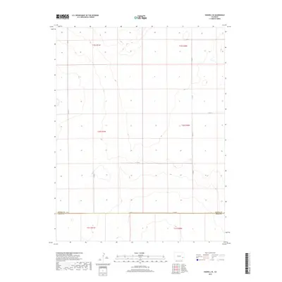
2019 Map of Haswell SE
USGS Topo · Published 2019About this map
Kiowa Co and Bent Co meet along a straight east-west boundary in this section of the High Plains, where the landscape is defined by the rigid geometry of the Public Land Survey System. The area is marked by wide-open terrain and a sparse network of section-line roads, such as Co Rd 22 and Co Rd 27, which provide the primary access through these townships. The map documents the intersections of t20s r51w and t20s r50w, revealing a land use pattern typical of eastern Colorado where large-scale ranching or dryland farming is facilitated by the gridded road system. Notable junctions include where Co Rd A and Co Rd WW trace the county line, illustrating the methodical division of the territory into predictable blocks for agricultural management.
Find a feature on this map
15 named features on this map. Tap any name to fly to it.
Don’t see what you’re looking for? This feature index may not catch every label — zoom into the map to look around manually.
Map Details
Editions of this 2019 Haswell SE Map
This is the sole edition of this map. No revisions or reprints were ever made.
Other maps of this area

1891 · Las Animas
USGS Topo · 1:125,000

1892 · Lamar
USGS Topo · 1:125,000

1893 · Las Animas
USGS Topo · 1:125,000

1954 · Lamar
USGS Topo · 1:250,000

1955 · Tree Top Ranch
USGS Topo · 1:24,000

1955 · Lubers
USGS Topo · 1:24,000

1955 · Bishop Ranch
USGS Topo · 1:24,000

1958 · Lamar
USGS Topo · 1:250,000

1968 · Rose Ranch
USGS Topo · 1:24,000

1968 · Hawkins
USGS Topo · 1:24,000