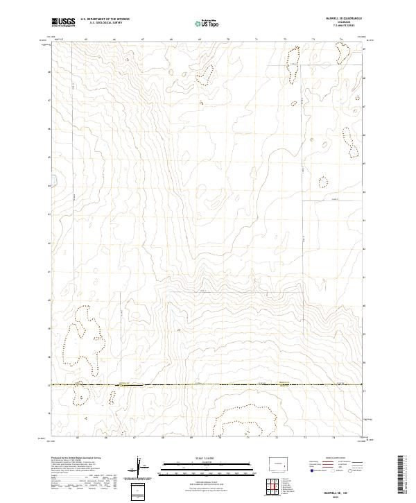
2022 Map of Haswell SE
USGS Topo · Published 2022About this map
The county boundary of Kiowa Co Bent Co defines the southern portion of this landscape, marking the transition between two High Plains jurisdictions. This area is characterized by a sparse, grid-based road network that reflects the systematic organization of the Public Land Survey System. Major thoroughfares such as Co Rd 22, Co Rd 23, and Co Rd 27 run vertically through the landscape, intersected by east-west connectors like Co Rd A and Co Rd C.
Find a feature on this map
15 named features on this map. Tap any name to fly to it.
Don’t see what you’re looking for? This feature index may not catch every label — zoom into the map to look around manually.
Map Details
Editions of this 2022 Haswell SE Map
This is the sole edition of this map. No revisions or reprints were ever made.
Other maps of this area

1891 · Las Animas
USGS Topo · 1:125,000

1892 · Lamar
USGS Topo · 1:125,000

1893 · Las Animas
USGS Topo · 1:125,000

1954 · Lamar
USGS Topo · 1:250,000

1955 · Tree Top Ranch
USGS Topo · 1:24,000

1955 · Lubers
USGS Topo · 1:24,000

1955 · Bishop Ranch
USGS Topo · 1:24,000

1958 · Lamar
USGS Topo · 1:250,000

1968 · Rose Ranch
USGS Topo · 1:24,000

1968 · Hawkins
USGS Topo · 1:24,000