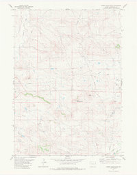
1981 Map of Hat Rock
USGS Topo · Published 1981About this map
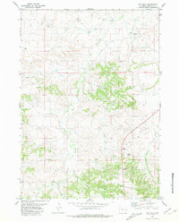
Hat Rock and the nearby Ship Rock stand as prominent geological markers in this high plains landscape of Niobrara County. Surveyed by the Geological Survey and NOS/NOAA in the mid-1970s, the terrain is defined by the sharp escarpments of the Hat Creek Breaks and a network of seasonal drainage patterns including Petts Draw and Timber Draw. The presence of several drill holes and an Oil Well indicates the period's mineral exploration and energy development.
Find a feature on this map
17 named features on this map. Tap any name to fly to it.
Don’t see what you’re looking for? This feature index may not catch every label — zoom into the map to look around manually.
Map Details
Editions of this 1981 Hat Rock Map
This is the sole edition of this map. No revisions or reprints were ever made.
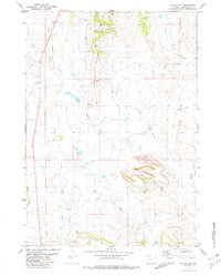
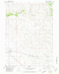
Other maps of this area

1954 · Torrington
USGS Topo · 1:250,000

1955 · Newcastle
USGS Topo · 1:250,000

1958 · Torrington
USGS Topo · 1:250,000

1958 · Newcastle
USGS Topo · 1:250,000
1981 · Telephone Draw
USGS Topo · 1:24,000
1981 · Lusk
USGS Topo · 1:24,000
1981 · Signature Rock
USGS Topo · 1:24,000
1981 · Rabbit Mountains
USGS Topo · 1:24,000
1981 · Coyote Gap
USGS Topo · 1:24,000
1981 · Manville
USGS Topo · 1:24,000