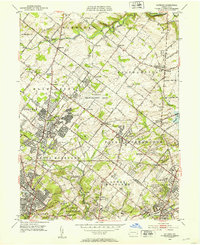
1952 Map of Hatboro
USGS Topo · Published 1953About this map
The U S Naval Air Development Center dominates the central landscape of this early 1950s survey, marking the mid-century transition of the area from agricultural use to military research and suburban expansion. Established just years before this field check, the naval site sits between Johnsville and Ivyland, while residential pockets like Lacey Park reflect the postwar housing boom. Despite these changes, the map reveals a deeply rooted religious and educational history through landmarks such as the Southampton Meetinghouse, Bryn Athyn Academy, and the Neshaminy Warwick Ch near Hartsville.
Find a feature on this map
88 named features on this map. Tap any name to fly to it.
Don’t see what you’re looking for? This feature index may not catch every label — zoom into the map to look around manually.
Map Details
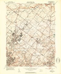
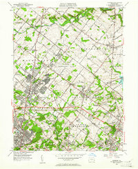
Editions of this 1952 Hatboro Map
Other maps of this area

1890 · Lambertville
USGS Topo · 1:62,500

1890 · Doylestown
USGS Topo · 1:62,500

1890 · Burlington
USGS Topo · 1:62,500

1891 · Lambertville
USGS Topo · 1:62,500

1891 · Doylestown
USGS Topo · 1:62,500

1893 · Germantown
USGS Topo · 1:62,500

1893 · Burlington
USGS Topo · 1:62,500

1894 · Lambertville
USGS Topo · 1:62,500

1894 · Germantown
USGS Topo · 1:62,500

1896 · Germantown
USGS Topo · 1:62,500
Featured Places
- Philadelphia, PA
- Abington Township, PA
- Warminster Township, PA
- Horsham Township, PA
- Warrington Township, PA