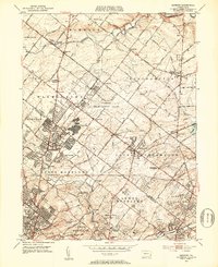
1952 Map of Hatboro
USGS Topo · Published 1953About this map
The U S Naval Air Development Center dominates the center of this early 1950s landscape, illustrating the military and industrial footprint in the suburbs north of Philadelphia. This era shows a community in transition, where the Reading railroad lines connect established villages like Hatboro and Ivyland with new residential developments such as Lacey Park. The map captures the distinct character of Bryn Athyn, anchored by the Bryn Athyn Academy and The Chapel of the New Lords, while the surrounding area remains dotted with traditional institutions like the Neshaminy Warwick Ch and Neshaminy Cem.
Find a feature on this map
99 named features on this map. Tap any name to fly to it.
Don’t see what you’re looking for? This feature index may not catch every label — zoom into the map to look around manually.
Map Details
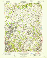
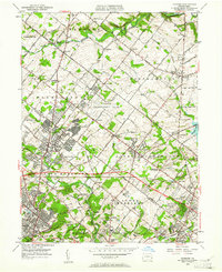
Editions of this 1952 Hatboro Map
Other maps of this area

1890 · Lambertville
USGS Topo · 1:62,500

1890 · Doylestown
USGS Topo · 1:62,500

1890 · Burlington
USGS Topo · 1:62,500

1891 · Lambertville
USGS Topo · 1:62,500

1891 · Doylestown
USGS Topo · 1:62,500

1893 · Germantown
USGS Topo · 1:62,500

1893 · Burlington
USGS Topo · 1:62,500

1894 · Lambertville
USGS Topo · 1:62,500

1894 · Germantown
USGS Topo · 1:62,500

1896 · Germantown
USGS Topo · 1:62,500
Featured Places
- Philadelphia, PA
- Abington Township, PA
- Warminster Township, PA
- Horsham Township, PA
- Warrington Township, PA