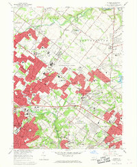
1966 Map of Hatboro
USGS Topo · Published 1968About this map
The U S Naval Air Development Center dominates the central landscape of this mid-1960s survey, a prominent military presence situated between growing suburban developments. Residential clusters such as Warminster Heights, Lacey Park, and Casey Highlands reflect the post-war expansion across the Montgomery and Bucks County line. The area maintains deep local roots through landmarks like the Hatboro Library and numerous religious and educational institutions, including the Bryn Athyn Academy and Archbishop Wood High Schs.
Find a feature on this map
97 named features on this map. Tap any name to fly to it.
Don’t see what you’re looking for? This feature index may not catch every label — zoom into the map to look around manually.
Map Details
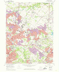
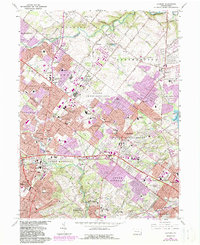
Editions of this 1966 Hatboro Map
Other maps of this area

1890 · Lambertville
USGS Topo · 1:62,500

1890 · Doylestown
USGS Topo · 1:62,500

1890 · Burlington
USGS Topo · 1:62,500

1891 · Lambertville
USGS Topo · 1:62,500

1891 · Doylestown
USGS Topo · 1:62,500

1893 · Germantown
USGS Topo · 1:62,500

1893 · Burlington
USGS Topo · 1:62,500

1894 · Lambertville
USGS Topo · 1:62,500

1894 · Germantown
USGS Topo · 1:62,500

1896 · Germantown
USGS Topo · 1:62,500
Featured Places
- Philadelphia, PA
- Abington Township, PA
- Warminster Township, PA
- Horsham Township, PA
- Warrington Township, PA