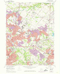
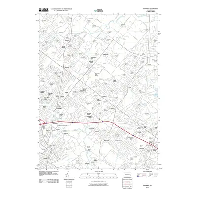
1966 Map of Hatboro
USGS Topo · Published 1974About this map
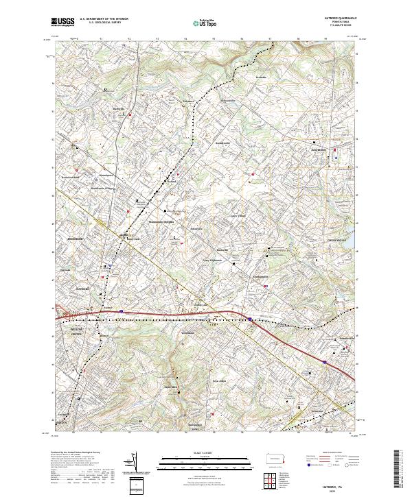
Hatboro and the surrounding townships of Warminster, Upper Southampton, and Upper Moreland demonstrate the mid-century suburbanization of the Philadelphia suburbs. The expansive US Naval Air Development Center dominates the central landscape near Johnsville, flanked by growing residential developments like Lacey Park, Warminster Heights, and Casey Village. This transition from rural agricultural land to a dense suburban corridor is evidenced by the numerous schools, such as Archbishop Wood High Schs and Tennent High Sch, alongside established religious and burial sites like Neshaminy Warwick Ch and Union Cem.
Find a feature on this map
135 named features on this map. Tap any name to fly to it.
Don’t see what you’re looking for? This feature index may not catch every label — zoom into the map to look around manually.
Map Details
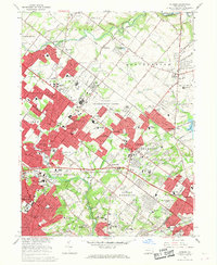
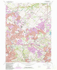
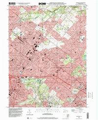
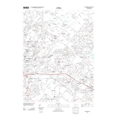
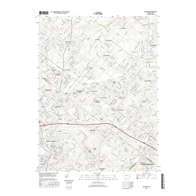
Editions of this 1966 Hatboro Map
Historical Maps of Philadelphia Through Time
8 maps found


Featured Locations
- Philadelphia, PA
- Abington Township, PA
- Horsham Township, PA
- Warminster Township, PA
- Warrington Township, PA