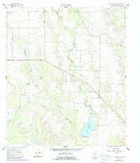
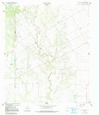
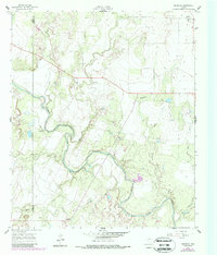
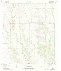
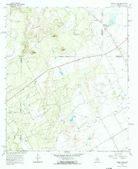
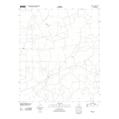
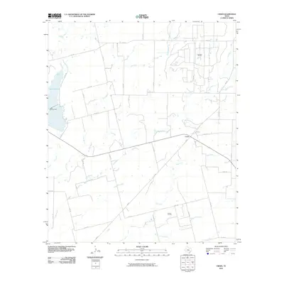
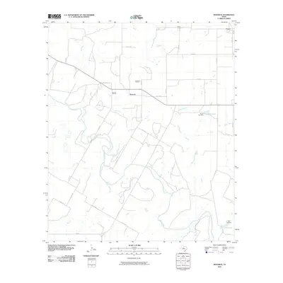
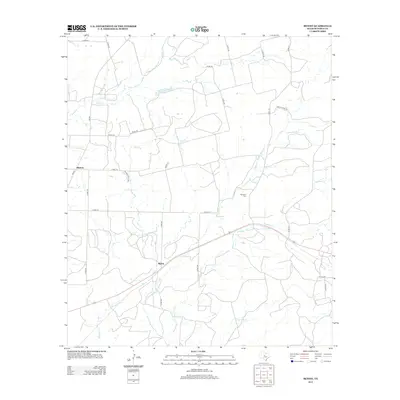
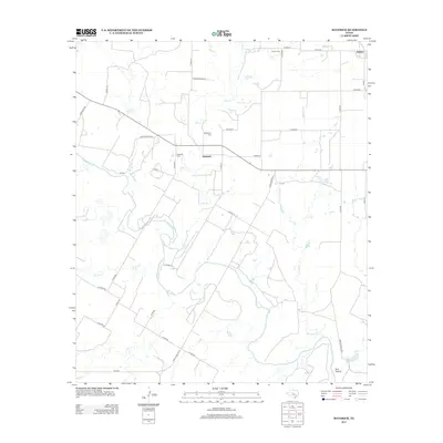
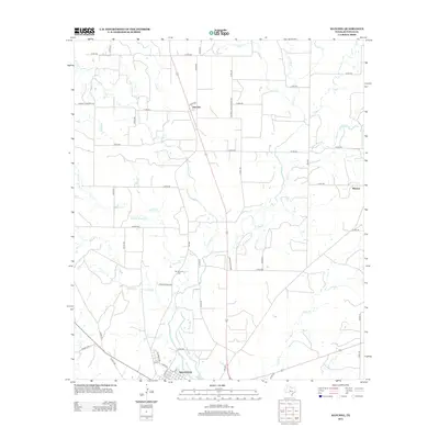
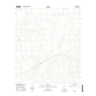
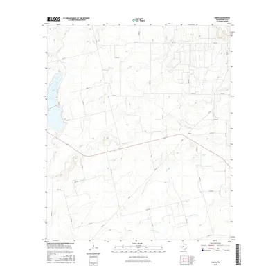
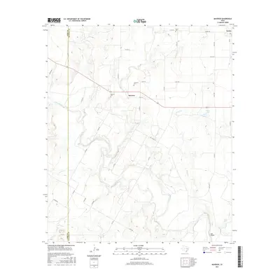
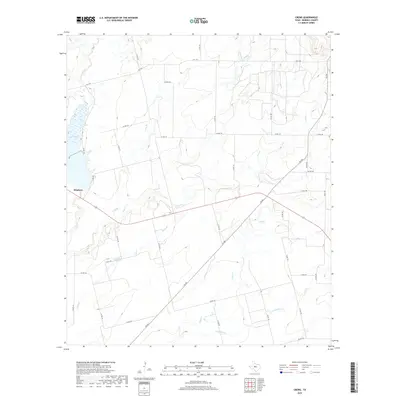
1967 Map of Hatchel
USGS Topo · Published 1988About this map
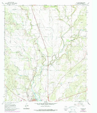
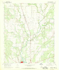
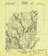
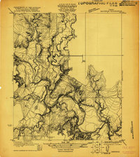
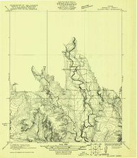
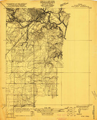
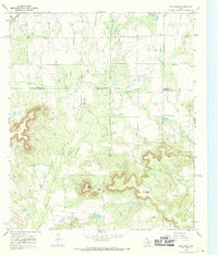
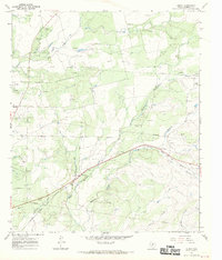
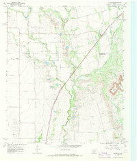
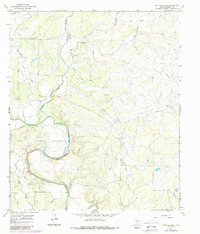
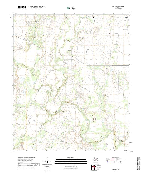
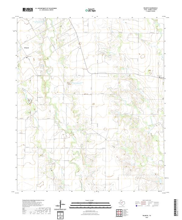
The oil-rich plains of Runnels County are defined here by a extensive O I L F I E L D that spans the northern and central landscape. In the south, the city of Ballinger sits at the confluence of several vital waterways, including the winding Elm Creek and Rattlesnake Creek. This 1967 survey, updated with 1980s photogrammetric revisions, captures the mid-century infrastructure of the region, from the Drive-in Theater and Radio Tower near the city center to the numerous Gravel Pits dotting the countryside. Genealogy and local history are anchored at the Old Runnels Cem, located near the central fork of Coyote Creek. The map also documents a changing transportation network, specifically the dismantled railroad lines that once served the rural community of Hatchel and the surrounding agricultural and petroleum tracts.
Find a feature on this map
23 named features on this map. Tap any name to fly to it.
Don’t see what you’re looking for? This feature index may not catch every label — zoom into the map to look around manually.
Map Details
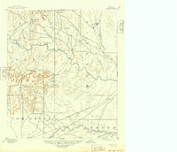
Editions of this 1967 Hatchel Map
2 editions found
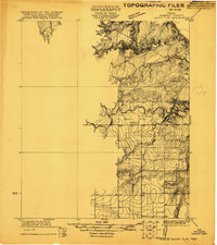
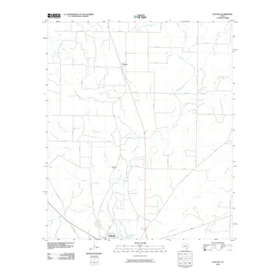
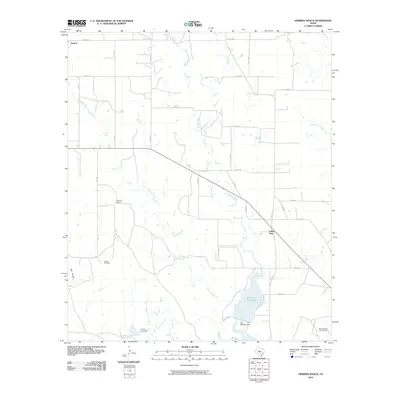
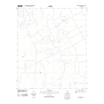
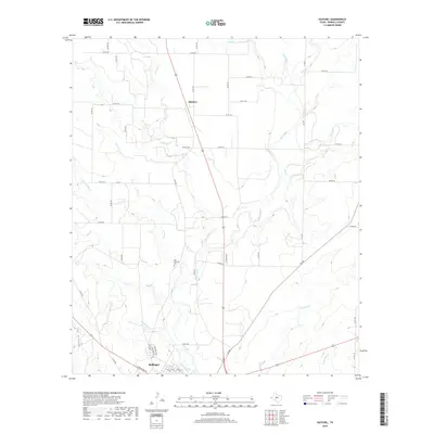
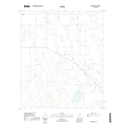
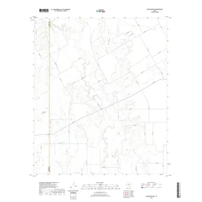
Historical Maps of Ballinger Through Time
79 maps found

1891 Hayrick
Runnels County, TX
1894 Hayrick
Runnels County, TX
1921 Baker Flat
Runnels County, TX
1921 Hatchel
Runnels County, TX
1921 Maverick
Runnels County, TX
1921 Quarry Creek
Runnels County, TX
1921 Spur Creek
Runnels County, TX
1961 Herring Ranch
Runnels County, TX
1961 Hog Mountain
Runnels County, TX
1961 Maverick
Runnels County, TX
1961 Wilmeth
Runnels County, TX
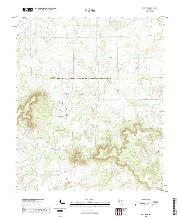
1967 Bald Knob
Runnels County, TX
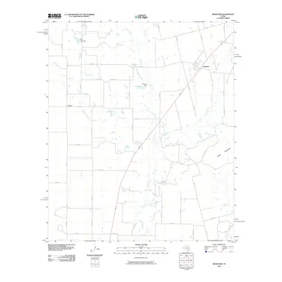
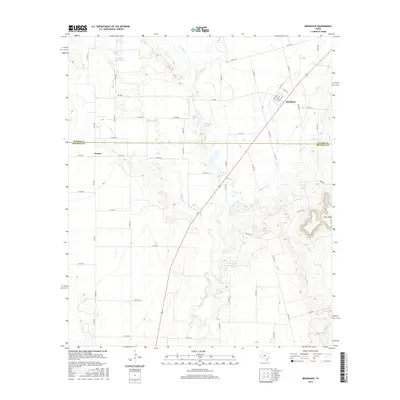
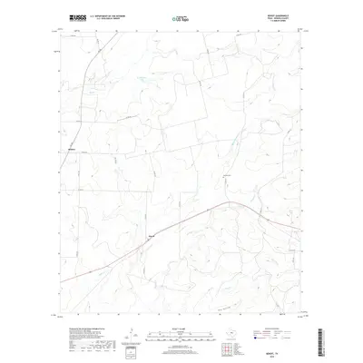
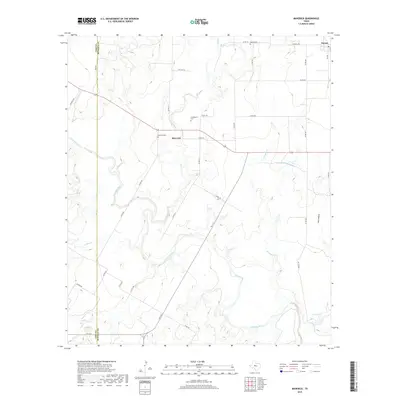
1967 Benoit
Runnels County, TX
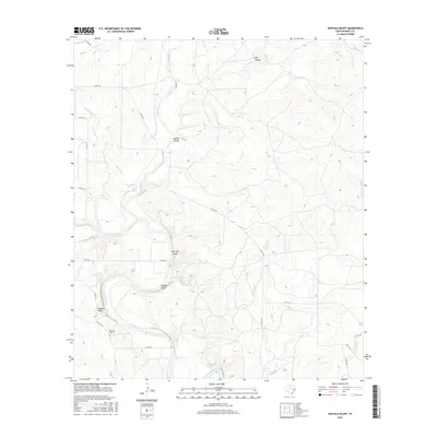
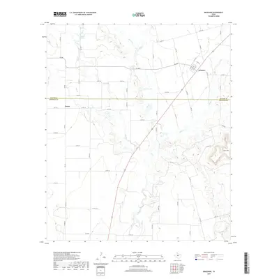
1967 Bradshaw
Runnels County, TX
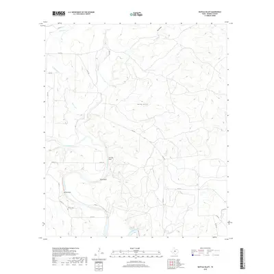
1967 Buffalo Bluff
Runnels County, TX
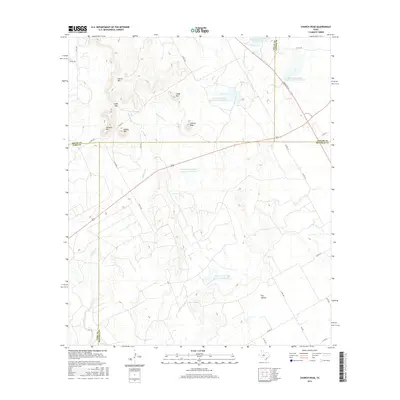
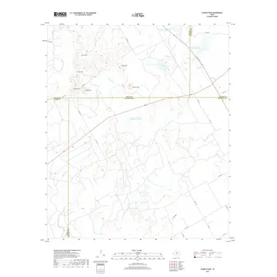
1967 Church Peak
Runnels County, TX
1967 Crews
Runnels County, TX
1967 Hatchel
Runnels County, TX
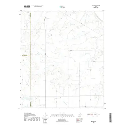
1984 Miles NW
Runnels County, TX
2010 Bald Knob
Runnels County, TX
2010 Benoit
Runnels County, TX
2010 Bradshaw
Runnels County, TX
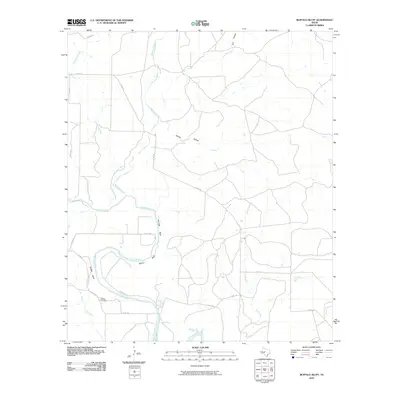
2010 Buffalo Bluff
Runnels County, TX
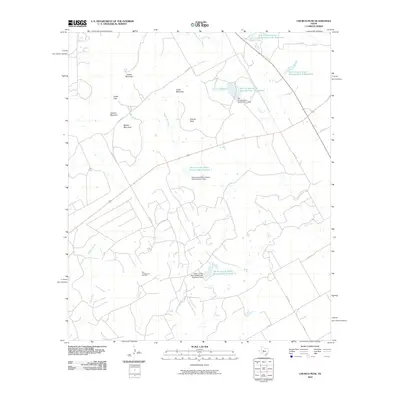
2010 Church Peak
Runnels County, TX
2010 Crews
Runnels County, TX
2010 Hatchel
Runnels County, TX
2010 Herring Ranch
Runnels County, TX
2010 Hog Mountain
Runnels County, TX
2010 Maverick
Runnels County, TX
2010 Miles NW
Runnels County, TX
2010 Wilmeth
Runnels County, TX
2012 Bald Knob
Runnels County, TX
2012 Benoit
Runnels County, TX
2012 Bradshaw
Runnels County, TX
2012 Church Peak
Runnels County, TX
2012 Hog Mountain
Runnels County, TX
2012 Maverick
Runnels County, TX
2012 Wilmeth
Runnels County, TX
2013 Buffalo Bluff
Runnels County, TX
2013 Crews
Runnels County, TX
2013 Hatchel
Runnels County, TX
2013 Herring Ranch
Runnels County, TX
2013 Miles NW
Runnels County, TX
2016 Bald Knob
Runnels County, TX
2016 Benoit
Runnels County, TX
2016 Bradshaw
Runnels County, TX
2016 Buffalo Bluff
Runnels County, TX
2016 Church Peak
Runnels County, TX
2016 Crews
Runnels County, TX
2016 Hatchel
Runnels County, TX
2016 Herring Ranch
Runnels County, TX
2016 Hog Mountain
Runnels County, TX
2016 Maverick
Runnels County, TX
2016 Miles NW
Runnels County, TX
2016 Wilmeth
Runnels County, TX
2019 Bald Knob
Runnels County, TX
2019 Benoit
Runnels County, TX
2019 Bradshaw
Runnels County, TX
2019 Buffalo Bluff
Runnels County, TX
2019 Church Peak
Runnels County, TX
2019 Crews
Runnels County, TX
2019 Hatchel
Runnels County, TX
2019 Herring Ranch
Runnels County, TX
2019 Hog Mountain
Runnels County, TX
2019 Maverick
Runnels County, TX
2019 Miles NW
Runnels County, TX
2019 Wilmeth
Runnels County, TX
2022 Bald Knob
Runnels County, TX
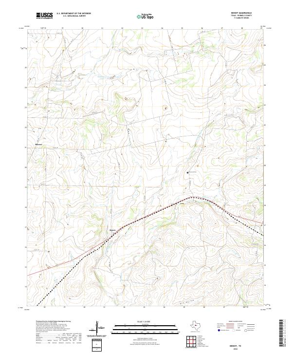
2022 Benoit
Runnels County, TX
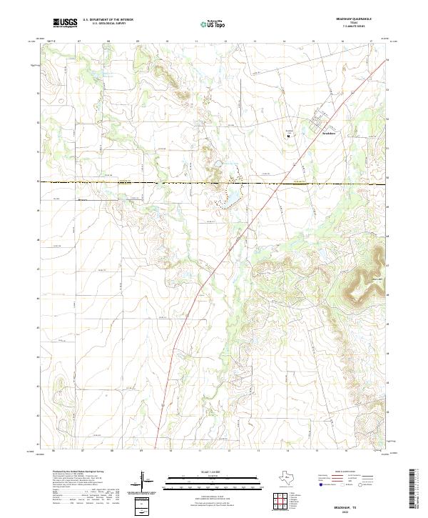
2022 Bradshaw
Runnels County, TX
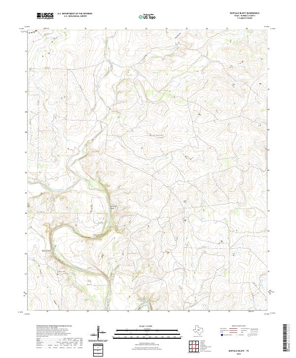
2022 Buffalo Bluff
Runnels County, TX
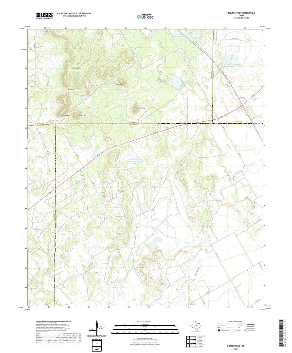
2022 Church Peak
Runnels County, TX
2022 Crews
Runnels County, TX
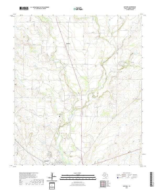
2022 Hatchel
Runnels County, TX
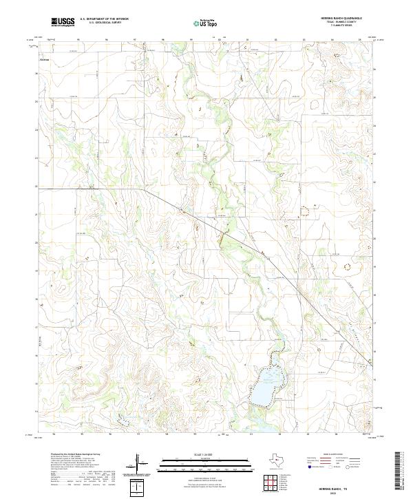
2022 Herring Ranch
Runnels County, TX
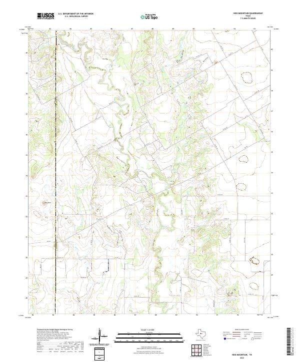
2022 Hog Mountain
Runnels County, TX
2022 Maverick
Runnels County, TX

2022 Miles NW
Runnels County, TX
2022 Wilmeth
Runnels County, TX