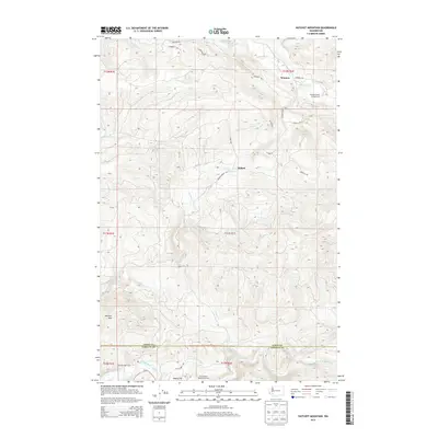
2013 Map of Hatchet Mountain
USGS Topo · Published 2013About this map
Winston and Wilson anchor the northern landscape of this 2013 survey, where the drainages of Winston Cr and Salmon Cr carve through the rising elevation of the Pacific Northwest. The terrain transitions south toward Hatchet Mtn, a prominent peak overlooking the deep river valleys that define the county line. The hydrology of the region is central to its identity, featuring the North Fork Toutle River and the Green River, the latter supporting the Green River Salmon Hatchery. This area reflects a reliance on the river systems for both natural resources and recreation, evidenced by the Winston Creek Campground near Mayfield Lake. Remnants of localized activity appear at Maple Flat and the evocative Nineteen Mile Camp, providing a detailed look at the logging or transit outposts that once dotted these hillsides.
Find a feature on this map
35 named features on this map. Tap any name to fly to it.
Don’t see what you’re looking for? This feature index may not catch every label — zoom into the map to look around manually.
Map Details
Editions of this 2013 Hatchet Mountain Map
This is the sole edition of this map. No revisions or reprints were ever made.
Other maps of this area

1916 · Chehalis
USGS Topo · 1:125,000

1919 · Mount St Helens
USGS Topo · 1:125,000

1937 · Eatonville
USGS Topo · 1:125,000

1942 · Toutle
USGS Topo · 1:62,500

1943 · Willapa
USGS Topo · 1:62,500

1953 · Hoquiam
USGS Topo · 1:250,000

1953 · Toutle
USGS Topo · 1:62,500

1953 · Elk Rock
USGS Topo · 1:62,500

1954 · Onalaska
USGS Topo · 1:62,500

1957 · Hoquiam
USGS Topo · 1:250,000