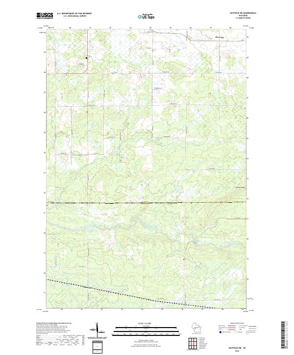
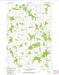
2022 Map of Hatfield NE
USGS Topo · Published 2022About this map
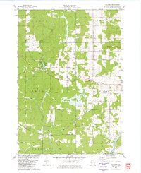
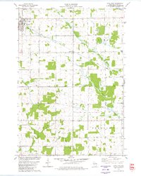
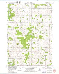
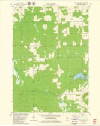
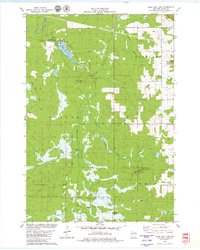
The East Fork Black River meanders across this rural landscape at the boundary of Clark and Jackson Counties. This section of central Wisconsin is defined by its water systems and the subtle elevation of Brushy Ridge to the east. Small communities like Shortville in the north and Waterbury in the south serve as local anchors, connected by a network of gravel and paved routes such as Old Hwy 54. Genealogists will find the Levis Cem north of Dump Rd, while local historians can trace the paths of secondary watercourses like Rock Cr and Mollies Cr which feed the larger river system. The grid of roads, including E Clay School Rd and Sherwood Rd, highlights the persistent agricultural and timber-based land use patterns that have shaped this region for generations.
Find a feature on this map
38 named features on this map. Tap any name to fly to it.
Don’t see what you’re looking for? This feature index may not catch every label — zoom into the map to look around manually.
Map Details
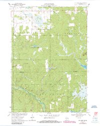
Editions of this 2022 Hatfield NE Map
This is the sole edition of this map. No revisions or reprints were ever made.
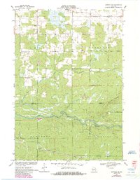
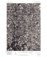
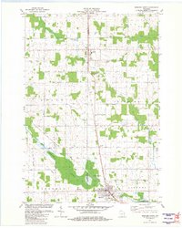
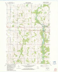
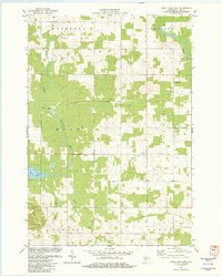
Historical Maps of City Point Through Time
29 maps found
1970 City Point NW
Clark County, WI
1970 Hatfield NE
Clark County, WI
1976 Stanley NE
Clark County, WI
1979 Columbia
Clark County, WI
1979 Loyal East
Clark County, WI
1979 Loyal West
Clark County, WI
1979 Mead Lake West
Clark County, WI
1979 Rock Dam Lake
Clark County, WI
1979 Spencer South
Clark County, WI
1979 Wildcat Mound
Clark County, WI
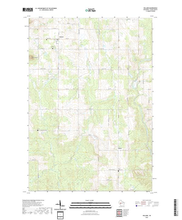
1979 Willard
Clark County, WI
1981 Riplinger
Clark County, WI
1981 Spencer North
Clark County, WI
1982 Lombard
Clark County, WI
1982 Mead Lake East
Clark County, WI
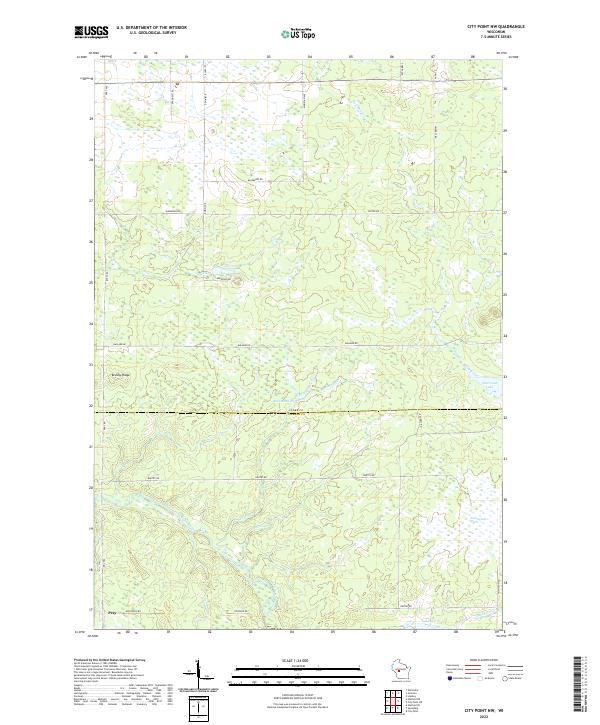
2022 City Point NW
Clark County, WI
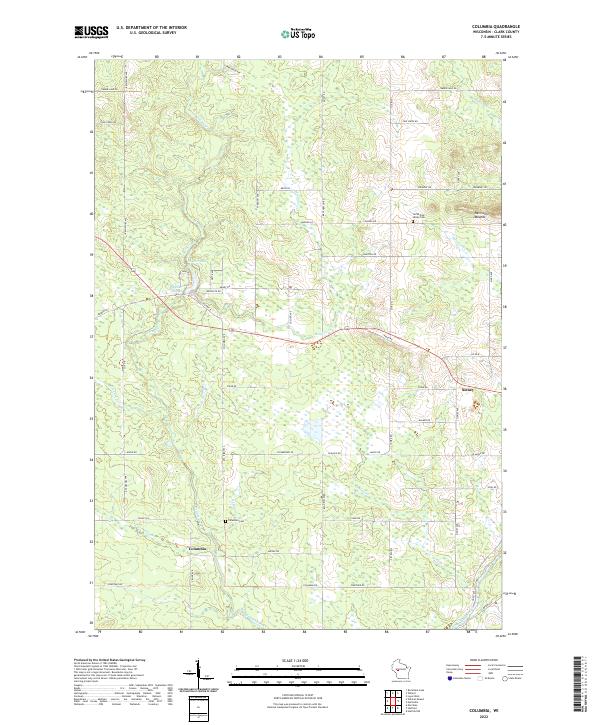
2022 Columbia
Clark County, WI
2022 Hatfield NE
Clark County, WI
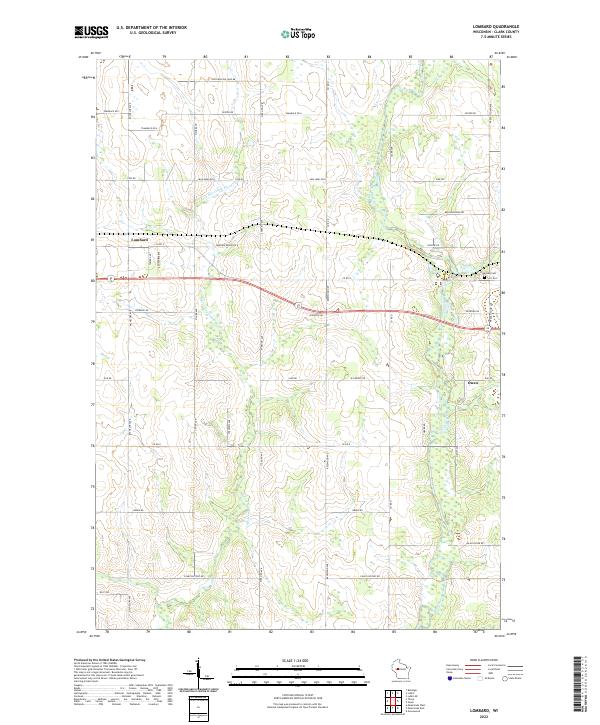
2022 Lombard
Clark County, WI
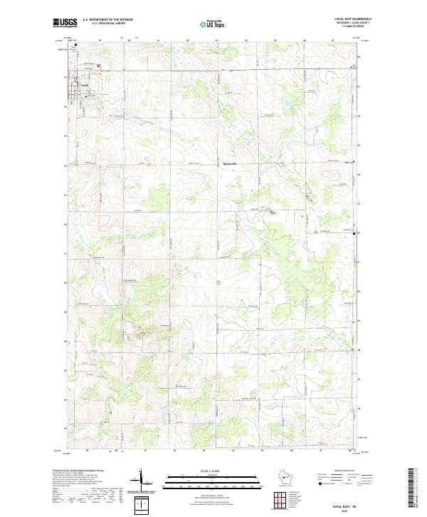
2022 Loyal East
Clark County, WI
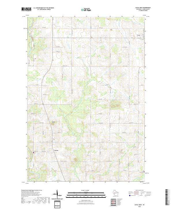
2022 Loyal West
Clark County, WI
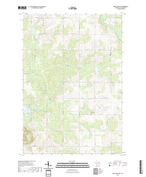
2022 Mead Lake East
Clark County, WI
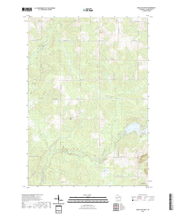
2022 Mead Lake West
Clark County, WI
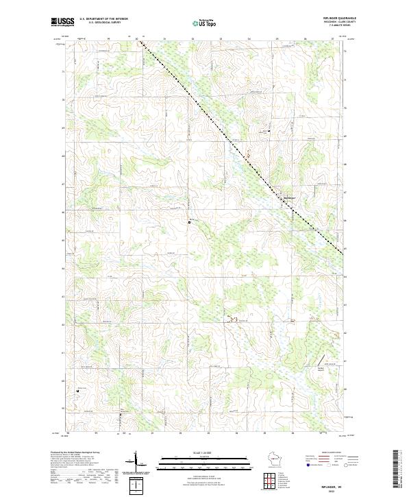
2022 Riplinger
Clark County, WI
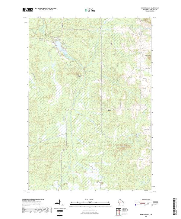
2022 Rock Dam Lake
Clark County, WI
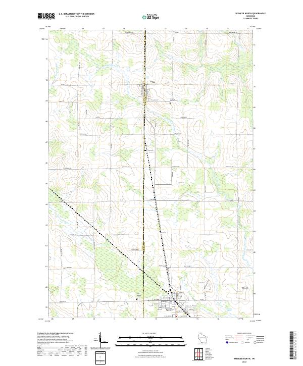
2022 Spencer North
Clark County, WI
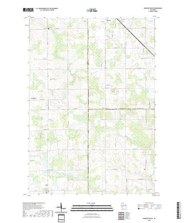
2022 Spencer South
Clark County, WI
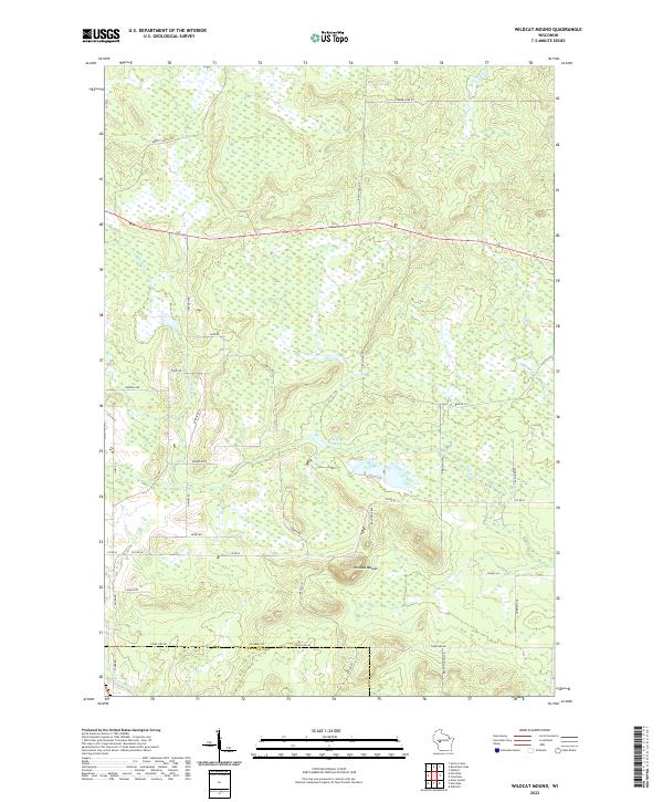
2022 Wildcat Mound
Clark County, WI
2022 Willard
Clark County, WI