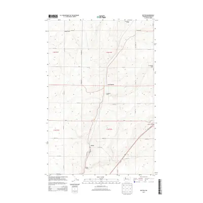
2014 Map of Hatton
USGS Topo · Published 2014About this map
The drylands of Adams County are defined here by a series of dramatic coulees and high tablelands. Kansas Prairie dominates the northern portion of the quadrangle, while the landscape is carved by deep drainage channels including Providence Coulee, Cunningham Coulee, and Hatton Coulee. These features represent the unique geology of the Columbia Basin, where ancient floods etched paths through the basalt. The small settlement of Hatton sits near the southern edge of the map, serving as a hub for the surrounding wheat-farming country. Further north, the town of Cunningham is positioned along the transit corridor. A rigid grid of rural routes, such as W Sutton Rd and S Roxboro Rd, facilitates the agricultural economy, while Wa-26 provides a modern east-west link across this sparsely populated section of Washington state.
Find a feature on this map
31 named features on this map. Tap any name to fly to it.
Don’t see what you’re looking for? This feature index may not catch every label — zoom into the map to look around manually.
Map Details
Editions of this 2014 Hatton Map
This is the sole edition of this map. No revisions or reprints were ever made.
Other maps of this area

1916 · Connell
USGS Topo · 1:125,000

1918 · Connell
USGS Topo · 1:125,000

1953 · Walla Walla
USGS Topo · 1:250,000

1958 · Walla Walla
USGS Topo · 1:250,000
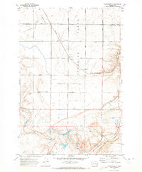
1970 · Frischknecht
USGS Topo · 1:24,000

1970 · Lind SW
USGS Topo · 1:24,000
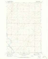
1970 · Shano
USGS Topo · 1:24,000
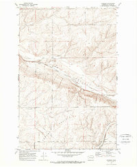
1970 · Roxboro
USGS Topo · 1:24,000
1970 · Providence
USGS Topo · 1:24,000
1970 · Connell
USGS Topo · 1:24,000