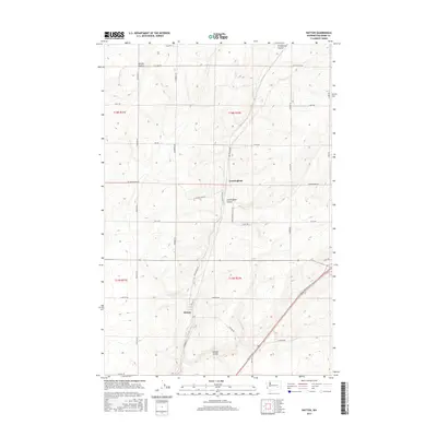
2017 Map of Hatton
USGS Topo · Published 2017About this map
Hatton and Cunningham anchor this portion of the eastern Washington landscape, situated within a high-plateau geography defined by agricultural stretches and geological coulees. The terrain is dominated by the broad expanse of Kansas Prairie to the north, while the drainage patterns of Providence Coulee, Cunningham Coulee, and Hatton Coulee carve through the land, indicating the path of prehistoric water flows. A rigorous grid of rural roads, including Kulm Rd Se and Lind-Hatton Rd, serves the isolated farmsteads and connects these small settlements. This 2017 survey illustrates a modern snapshot of a classic dryland wheat-growing region, where the intersection of Front St and Hatton Rd marks the center of local commerce and community life.
Find a feature on this map
32 named features on this map. Tap any name to fly to it.
Don’t see what you’re looking for? This feature index may not catch every label — zoom into the map to look around manually.
Map Details
Editions of this 2017 Hatton Map
This is the sole edition of this map. No revisions or reprints were ever made.
Other maps of this area

1916 · Connell
USGS Topo · 1:125,000

1918 · Connell
USGS Topo · 1:125,000

1953 · Walla Walla
USGS Topo · 1:250,000

1958 · Walla Walla
USGS Topo · 1:250,000
1970 · Frischknecht
USGS Topo · 1:24,000

1970 · Lind SW
USGS Topo · 1:24,000
1970 · Shano
USGS Topo · 1:24,000
1970 · Roxboro
USGS Topo · 1:24,000
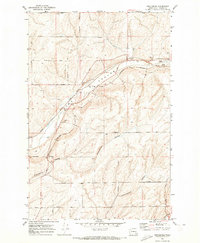
1970 · Providence
USGS Topo · 1:24,000
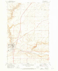
1970 · Connell
USGS Topo · 1:24,000