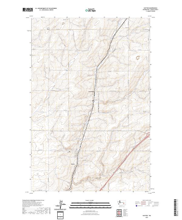
2023 Map of Hatton
USGS Topo · Published 2023About this map
Hatton and Cunningham anchor this survey of the Eastern Washington landscape, where the agricultural grid meets the natural drainages of the Columbia Basin. The map details a network of dry watercourses, notably Providence Coulee, Cunningham Coulee, and Hatton Coulee, which carve through the plateau. These features contrast with the open expanses of the Kansas Prairie to the northwest. Genealogists and local historians can locate specific sites of interest such as the Cunningham Cem and Hatton Cem, situated near their respective namesake settlements. The transport network is defined by a rigorous system of rural routes, including Lind-Hatton Rd, S Roxboro Rd, and W Cunningham Rd, reflecting the long-established land divisions of the region. The modern infrastructure of Neilson Rd cuts diagonally across the southeastern corner, illustrating the continued evolution of this rural corridor.
Find a feature on this map
32 named features on this map. Tap any name to fly to it.
Don’t see what you’re looking for? This feature index may not catch every label — zoom into the map to look around manually.
Map Details
Editions of this 2023 Hatton Map
This is the sole edition of this map. No revisions or reprints were ever made.
Other maps of this area

1916 · Connell
USGS Topo · 1:125,000

1918 · Connell
USGS Topo · 1:125,000

1953 · Walla Walla
USGS Topo · 1:250,000

1958 · Walla Walla
USGS Topo · 1:250,000
1970 · Frischknecht
USGS Topo · 1:24,000

1970 · Lind SW
USGS Topo · 1:24,000
1970 · Shano
USGS Topo · 1:24,000
1970 · Roxboro
USGS Topo · 1:24,000
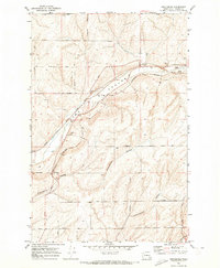
1970 · Providence
USGS Topo · 1:24,000
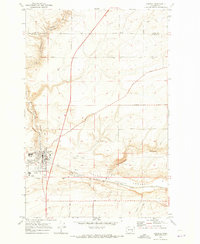
1970 · Connell
USGS Topo · 1:24,000