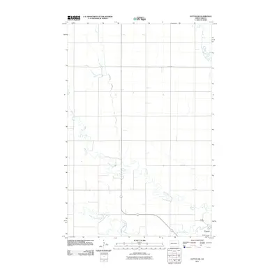
2011 Map of Hatton SW
USGS Topo · Published 2011About this map
Portland anchors the southeast corner of this survey, situated in a landscape defined by the branching tributaries of the Red River Valley. The terrain is dominated by the winding paths of the Goose River, including its North Branch, Middle Branch, and South Branch forks. These waterways create a sinuous contrast to the rigid section lines and rural road grid, such as County Hwy 21 and County Hwy 20, that organize the surrounding agricultural land.
Find a feature on this map
11 named features on this map. Tap any name to fly to it.
Don’t see what you’re looking for? This feature index may not catch every label — zoom into the map to look around manually.
Map Details
Editions of this 2011 Hatton SW Map
This is the sole edition of this map. No revisions or reprints were ever made.
Other maps of this area

1952 · Grand Forks
USGS Topo · 1:250,000

1956 · Grand Forks
USGS Topo · 1:250,000

1966 · Grand Forks
USGS Topo · 1:250,000

1967 · Mayville South
USGS Topo · 1:24,000

1968 · Hope NE
USGS Topo · 1:24,000
1968 · Galesburg NW
USGS Topo · 1:24,000
1970 · Northwood SE
USGS Topo · 1:24,000
1970 · Hatton
USGS Topo · 1:24,000
1970 · Mayville North
USGS Topo · 1:24,000
1970 · Northwood
USGS Topo · 1:24,000