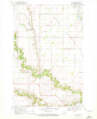
1970 Map of Hatton SW
USGS Topo · Published 1972About this map
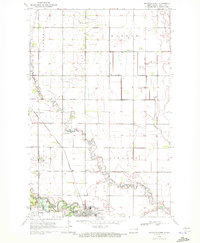
Portland anchors the southeastern corner of this Red River Valley landscape, situated where the South Branch Goose River joins the main flow. The terrain is defined by the winding paths of the North Branch Goose River, Middle Branch Goose River, and South Branch, which carve deep, wooded meanders into the surrounding prairie. These riparian corridors provide a sharp contrast to the geometric precision of the township boundaries for Newburgh, Garfield, Enger, and Viking. A rural local history is preserved in the location of the Aurdal Cem and the River Park near the river’s edge. The industrial and transit infrastructure of the early 1970s is represented by the Burlington Northern railroad line cutting across the plains and a hydrologic Gaging Station positioned along the central river bend.
Find a feature on this map
14 named features on this map. Tap any name to fly to it.
Don’t see what you’re looking for? This feature index may not catch every label — zoom into the map to look around manually.
Map Details
Editions of this 1970 Hatton SW Map
This is the sole edition of this map. No revisions or reprints were ever made.
Other maps of this area

1952 · Grand Forks
USGS Topo · 1:250,000

1956 · Grand Forks
USGS Topo · 1:250,000

1966 · Grand Forks
USGS Topo · 1:250,000

1967 · Mayville South
USGS Topo · 1:24,000

1968 · Hope NE
USGS Topo · 1:24,000
1968 · Galesburg NW
USGS Topo · 1:24,000
1970 · Northwood SE
USGS Topo · 1:24,000
1970 · Hatton
USGS Topo · 1:24,000
1970 · Mayville North
USGS Topo · 1:24,000
1970 · Northwood
USGS Topo · 1:24,000